Transport Functions
Multimodal
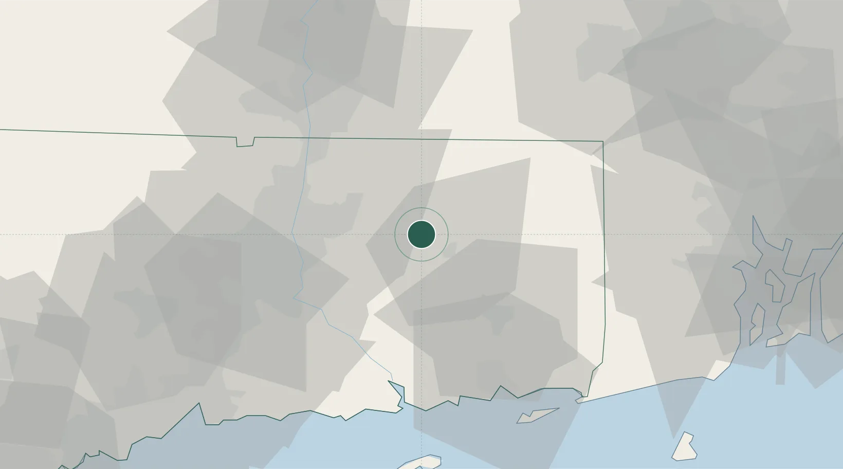
Hub Profile
Place type
Populated place
Region
Connecticut
Time zone
America/New_York
Elevation
160 m
Location
Nearby Logistics Neighbours
Cities
- 1Willimantic11 km
- 2North Windham13 km
- 3South Windham14 km
- 4Windham15 km
- 5Rockville17 km
Ports
- 1Norwich33 km
- 2Essex47 km
- 3New London50 km
- 4Mystic54 km
- 5Noank57 km
Airports
Trade Zones
DatabookThe Record of Consolidated Knowledge
United States beyond logistics?