Transport Functions
Road
Multimodal
Hub Profile
Place type
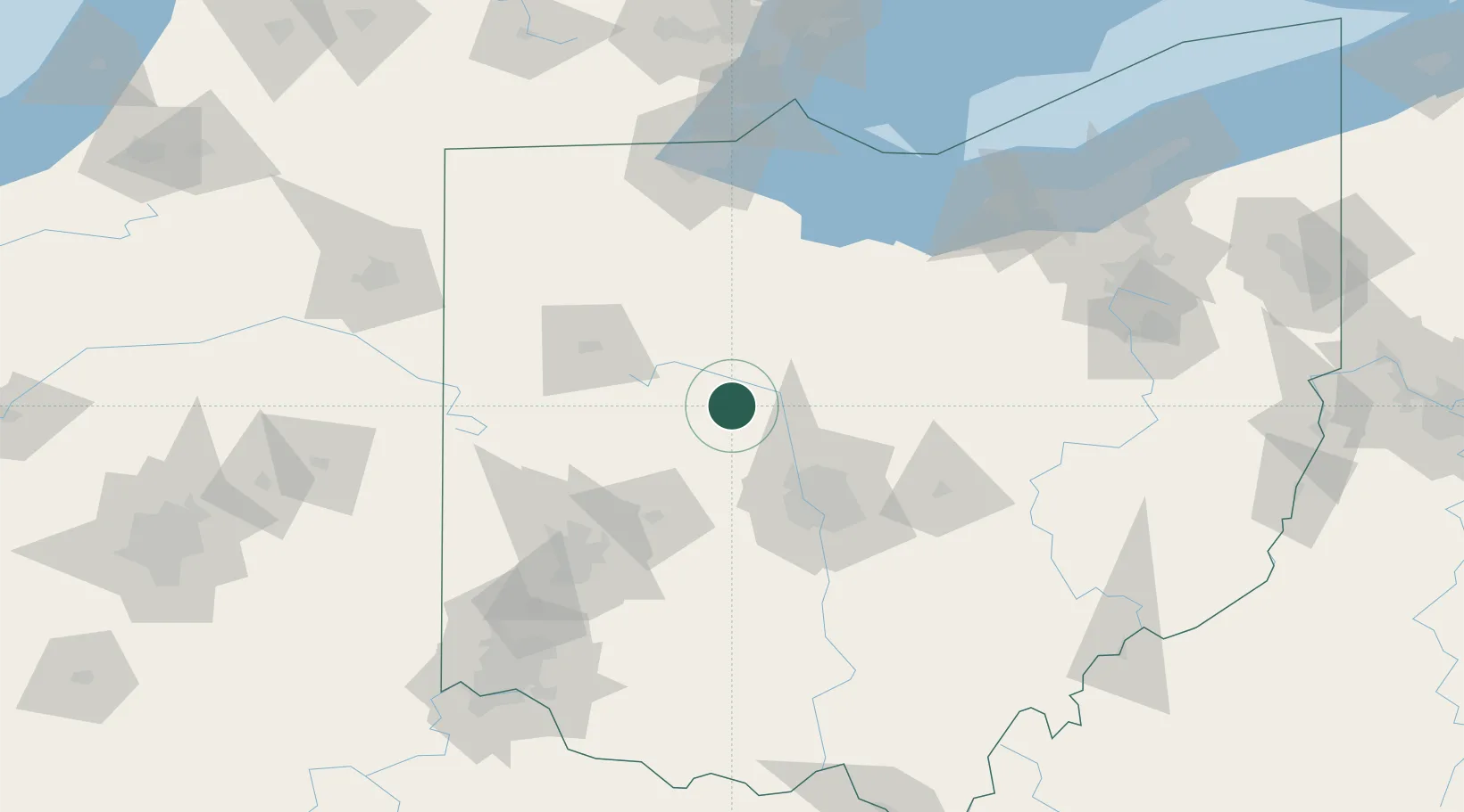
Populated place
Region
Kentucky
Time zone
America/Chicago
Elevation
145 m
Location
Nearby Logistics Neighbours
Cities
- 1Horton10 km
- 2Richwood13 km
- 3Pickerington14 km
- 4Raymond15 km
- 5Middleburg, Logan23 km
Ports
- 1Port Clinton124 km
- 2Sandusky125 km
- 3Huron128 km
- 4Toledo137 km
- 5Vermilion140 km
Airports
Trade Zones
- 1FTZ No. 151 Findlay68 km
- 2FTZ No. 138 Franklin County84 km
- 3FTZ No. 100 Dayton104 km
- 4FTZ No. 054 Clinton County119 km
- 5FTZ No. 008 Toledo132 km
DatabookThe Record of Consolidated Knowledge
United States beyond logistics?