UN/LOCODE hub · United States
USNTB
North Bennington
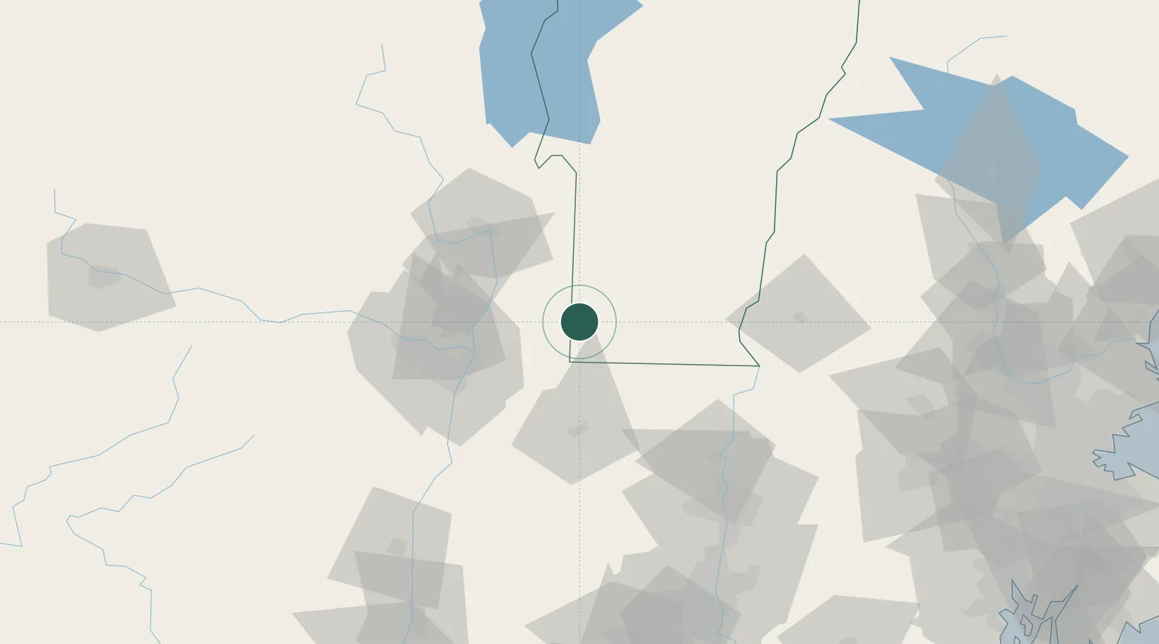
42.9167°, -73.2333°
1,620
Population
3
Transport functions
Transport Functions
Rail
Road
Multimodal
Hub Profile
Place type
Populated place
Region
Vermont
Population
1,620
Time zone
America/New_York
Elevation
195 m
Location
Nearby Logistics Neighbours
Cities
- 1North Hoosick8 km
- 2Pownal17 km
- 3Pittstown22 km
- 4Battenville26 km
- 5Schaghticoke29 km
Ports
- 1Troy43 km
- 2Albany52 km
- 3Rensselaer52 km
- 4Catskill93 km
- 5Kingston125 km
Airports
Trade Zones
- 1FTZ No. 268 Brattleboro52 km
- 2FTZ No. 121 Albany53 km
- 3FTZ No. 201 Holyoke88 km
- 4FTZ No. 071 Windsor Locks120 km
- 5FTZ No. 162 New Haven181 km
DatabookThe Record of Consolidated Knowledge
United States beyond logistics?