UN/LOCODE hub · United States
USTSW

Pittstown

42.8333°, -73.4833°
2
Transport functions

Transport Functions

Road
Multimodal
UN/LOCODE

Hub Profile

Place type
Populated place
GeoNames
Region
New York
GeoNames
Time zone
America/New_York
GeoNames
Elevation
173 m
GeoNames

Location

Location of USTSW
Natural Earth 10m (public domain) · New York · USTSW · 42.83, -73.48GoogleOSMYandex

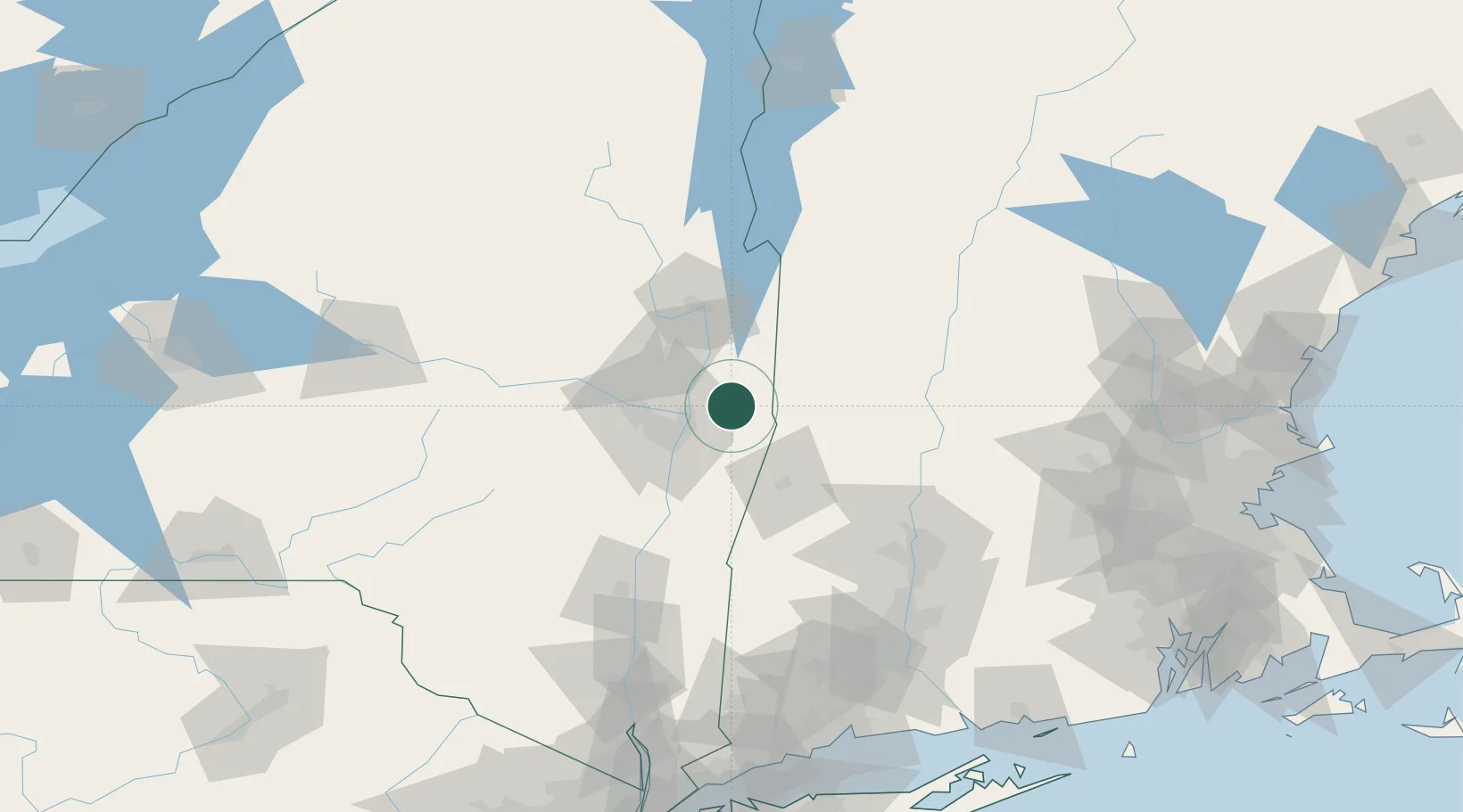
Nearby Logistics Neighbours

Cities
  1. 1Schaghticoke11 km
  2. 2North Hoosick15 km
  3. 3Troy21 km
  4. 4Albany22 km
  5. 5Pownal22 km
Nearest neighbours — logibook spatial index (haversine) over the source coordinates
Ports
  1. 1Troy21 km
  2. 2Albany30 km
  3. 3Rensselaer30 km
  4. 4Catskill75 km
  5. 5Kingston108 km
Nearest neighbours — logibook spatial index (haversine) over the source coordinates
Airports
  1. 1Albany International Airport28 km
  2. 2Schenectady County Airport36 km
  3. 3Floyd Bennett Memorial Airport57 km
  4. 4Rutland - Southern Vermont Regional Airport89 km
  5. 5Westfield-Barnes Regional Airport98 km
Nearest neighbours — logibook spatial index (haversine) over the source coordinates
Trade Zones
  1. 1FTZ No. 121 Albany30 km
  2. 2FTZ No. 268 Brattleboro72 km
  3. 3FTZ No. 201 Holyoke93 km
  4. 4FTZ No. 071 Windsor Locks122 km
  5. 5FTZ No. 162 New Haven176 km
Nearest neighbours — logibook spatial index (haversine) over the source coordinates
DatabookThe Record of Consolidated Knowledge
United States beyond logistics?
Browse databook

All Sources

LocationsUN/LOCODE
UN/LOCODE — free
Portsthe NGA World Port Index
Public domain (US gov)
AirportsOurAirports
Public domain
Trade Zonesthe World Bank SEZ database
CC BY 4.0
Trade ZonesOpen Zone Map
CC BY
← United States locations