UN/LOCODE hub · United States
USGHK
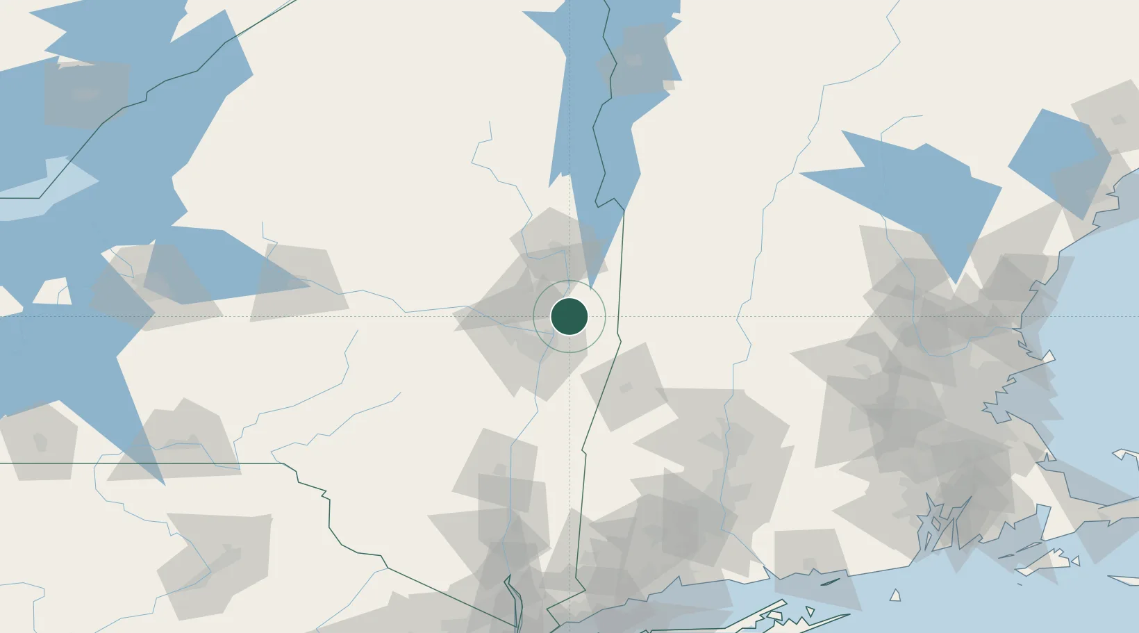
Schaghticoke
42.9000°, -73.5833°
588
Population
2
Transport functions
Transport Functions
Rail
Road
Hub Profile
Place type
Populated place
Region
New York
Population
588
Time zone
America/New_York
Elevation
109 m
Location
Nearby Logistics Neighbours
Cities
- 1Pittstown11 km
- 2Albany19 km
- 3North Hoosick20 km
- 4Troy22 km
- 5Ballston Lake23 km
Ports
- 1Troy21 km
- 2Albany31 km
- 3Rensselaer31 km
- 4Catskill79 km
- 5Kingston112 km
Airports
Trade Zones
- 1FTZ No. 121 Albany28 km
- 2FTZ No. 268 Brattleboro80 km
- 3FTZ No. 201 Holyoke104 km
- 4FTZ No. 071 Windsor Locks133 km
- 5FTZ No. 162 New Haven185 km
DatabookThe Record of Consolidated Knowledge
United States beyond logistics?