Transport Functions
Rail
Road
Hub Profile
Place type
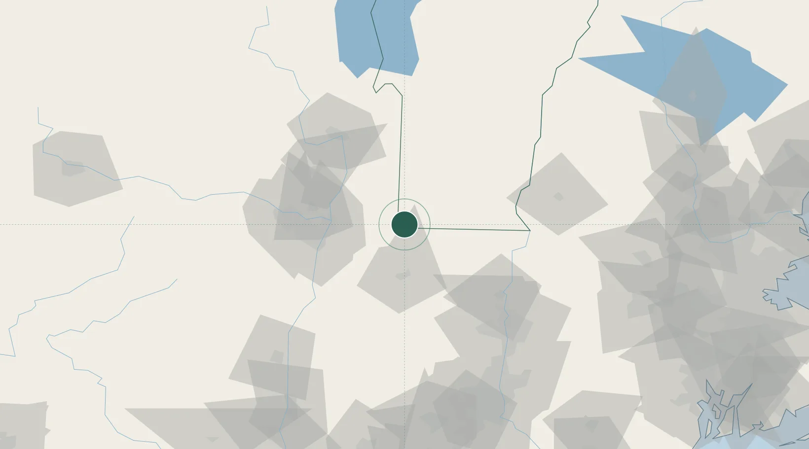
Populated place
Region
Vermont
Population
3,460
Time zone
America/New_York
Elevation
179 m
Location
Nearby Logistics Neighbours
Cities
- 1North Bennington17 km
- 2North Hoosick19 km
- 3Pittstown22 km
- 4Stephentown28 km
- 5Garfield29 km
Ports
- 1Troy38 km
- 2Albany44 km
- 3Rensselaer44 km
- 4Catskill79 km
- 5Kingston111 km
Airports
Trade Zones
- 1FTZ No. 121 Albany48 km
- 2FTZ No. 268 Brattleboro53 km
- 3FTZ No. 201 Holyoke74 km
- 4FTZ No. 071 Windsor Locks105 km
- 5FTZ No. 162 New Haven164 km
DatabookThe Record of Consolidated Knowledge
United States beyond logistics?