UN/LOCODE hub · United States
USNH4

North Hoosick

42.9167°, -73.3333°
2
Transport functions

Transport Functions

Road
Multimodal
UN/LOCODE

Hub Profile

Place type
Populated place
GeoNames
Region
New York
GeoNames
Time zone
America/New_York
GeoNames
Elevation
136 m
GeoNames

Location

Location of USNH4
Natural Earth 10m (public domain) · New York · USNH4 · 42.92, -73.33GoogleOSMYandex

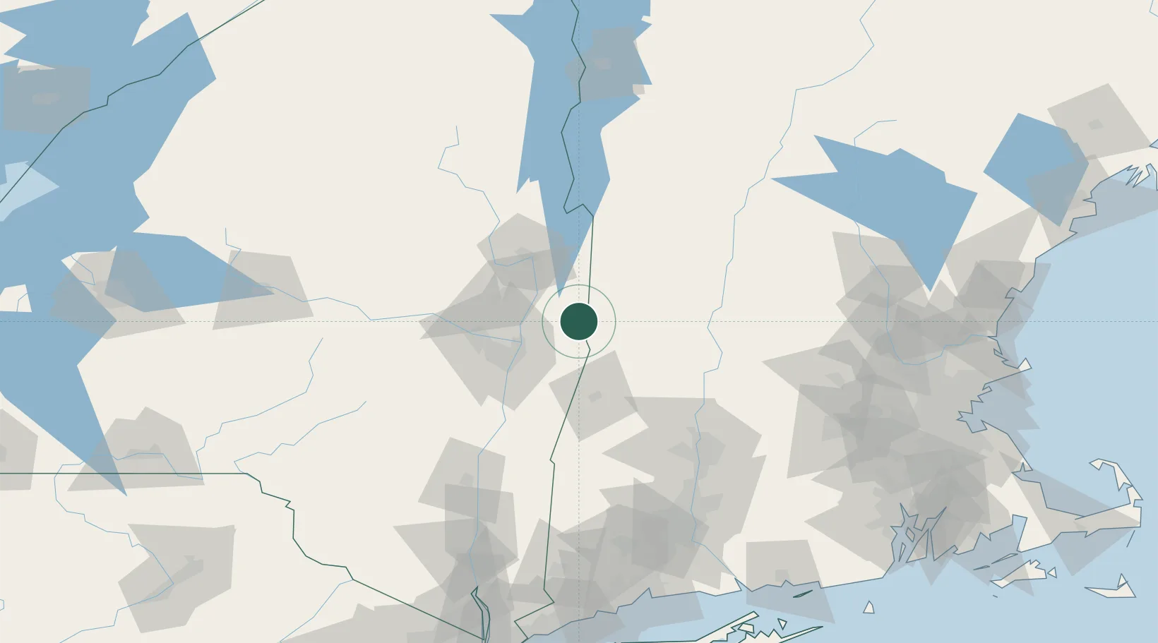
Nearby Logistics Neighbours

Cities
  1. 1North Bennington8 km
  2. 2Pittstown15 km
  3. 3Pownal19 km
  4. 4Schaghticoke20 km
  5. 5Battenville22 km
Nearest neighbours — logibook spatial index (haversine) over the source coordinates
Ports
  1. 1Troy36 km
  2. 2Albany45 km
  3. 3Rensselaer45 km
  4. 4Catskill89 km
  5. 5Kingston121 km
Nearest neighbours — logibook spatial index (haversine) over the source coordinates
Airports
  1. 1Albany International Airport43 km
  2. 2Schenectady County Airport49 km
  3. 3Floyd Bennett Memorial Airport52 km
  4. 4Rutland - Southern Vermont Regional Airport75 km
  5. 5Dillant Hopkins Airport87 km
Nearest neighbours — logibook spatial index (haversine) over the source coordinates
Trade Zones
  1. 1FTZ No. 121 Albany45 km
  2. 2FTZ No. 268 Brattleboro60 km
  3. 3FTZ No. 201 Holyoke92 km
  4. 4FTZ No. 071 Windsor Locks124 km
  5. 5FTZ No. 162 New Haven182 km
Nearest neighbours — logibook spatial index (haversine) over the source coordinates
DatabookThe Record of Consolidated Knowledge
United States beyond logistics?
Browse databook

All Sources

LocationsUN/LOCODE
UN/LOCODE — free
Portsthe NGA World Port Index
Public domain (US gov)
AirportsOurAirports
Public domain
Trade Zonesthe World Bank SEZ database
CC BY 4.0
Trade ZonesOpen Zone Map
CC BY
← United States locations