UN/LOCODE hub · United States
USNSV
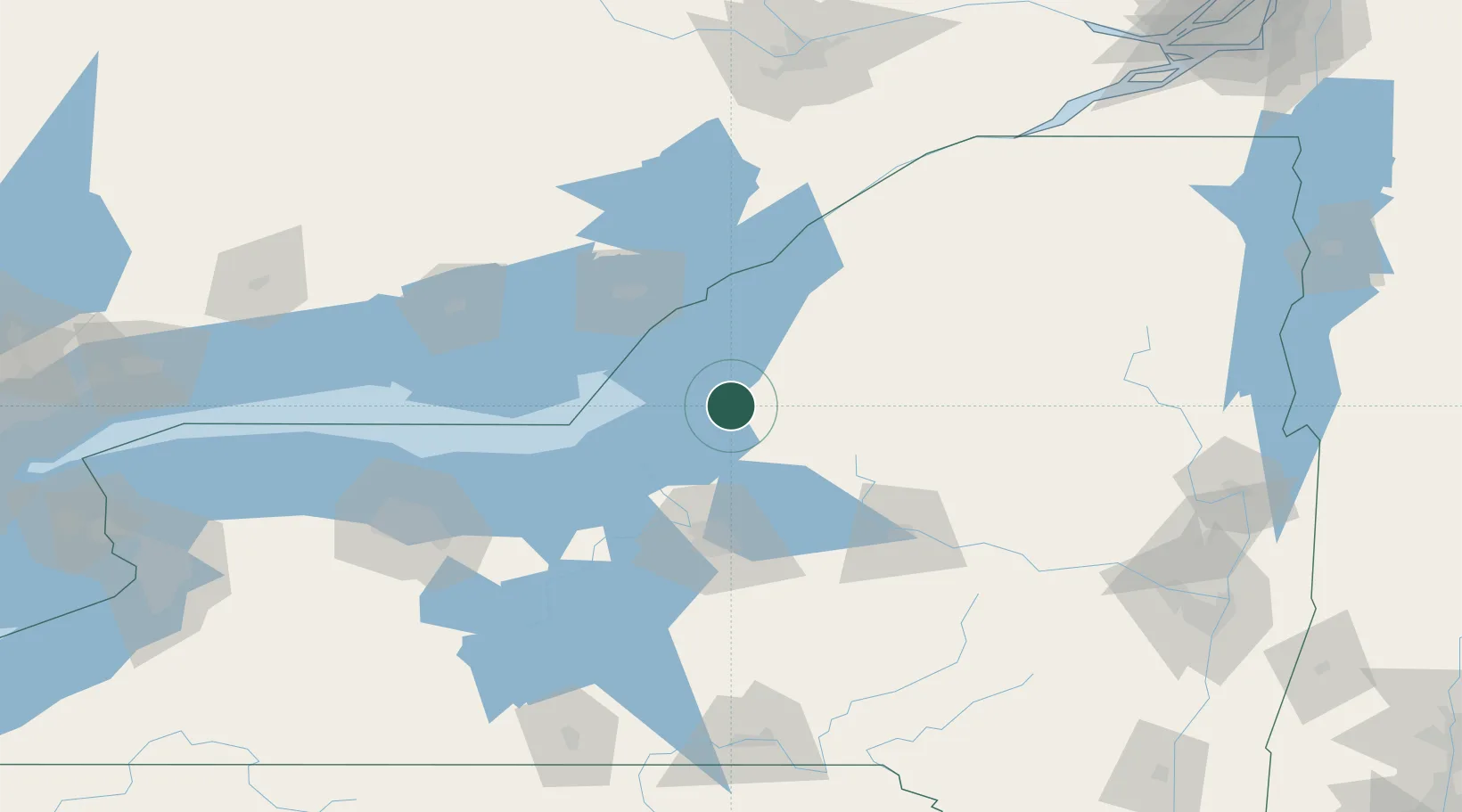
Mannsville
43.7167°, -76.0667°
361
Population
4
Transport functions
Transport Functions
Port
Rail
Road
Multimodal
Hub Profile
Place type
Populated place
Region
New York
Population
361
Time zone
America/New_York
Elevation
189 m
Location
Nearby Logistics Neighbours
Cities
- 1Greenboro17 km
- 2Dexter32 km
- 3Parish36 km
- 4Whitmore Lake36 km
- 5Willianstown37 km
Ports
- 1Oswego46 km
- 2Clayton58 km
- 3Wolfe Island61 km
- 4Kingston67 km
- 5Gananoque69 km
Airports
Trade Zones
- 1FTZ No. 109 Watertown33 km
- 2FTZ No. 090 Onondaga49 km
- 3FTZ No. 172 Oneida County53 km
- 4FTZ No. 118 Ogdensburg119 km
- 5FTZ No. 289 Ontario County158 km
DatabookThe Record of Consolidated Knowledge
United States beyond logistics?