Transport Functions
Road
Multimodal
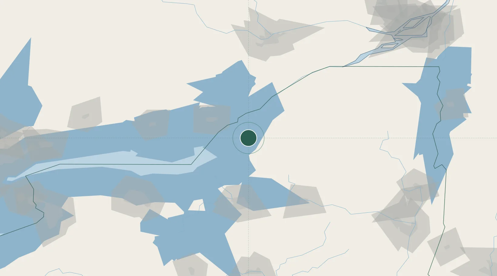
Hub Profile
Place type
Populated place
Region
New York
Population
1,086
Time zone
America/New_York
Elevation
86 m
Location
Nearby Logistics Neighbours
Cities
- 1Philadelphia30 km
- 2Theresa31 km
- 3Mannsville32 km
- 4Carthage33 km
- 5Denmark40 km
Ports
- 1Clayton26 km
- 2Alexandria Bay38 km
- 3Gananoque39 km
- 4Wolfe Island39 km
- 5Rockport43 km
Airports
Trade Zones
- 1FTZ No. 109 Watertown11 km
- 2FTZ No. 090 Onondaga74 km
- 3FTZ No. 172 Oneida County85 km
- 4FTZ No. 118 Ogdensburg89 km
- 5FTZ No. 141 Monroe County175 km
DatabookThe Record of Consolidated Knowledge
United States beyond logistics?