Transport Functions
Port
Road
Hub Profile
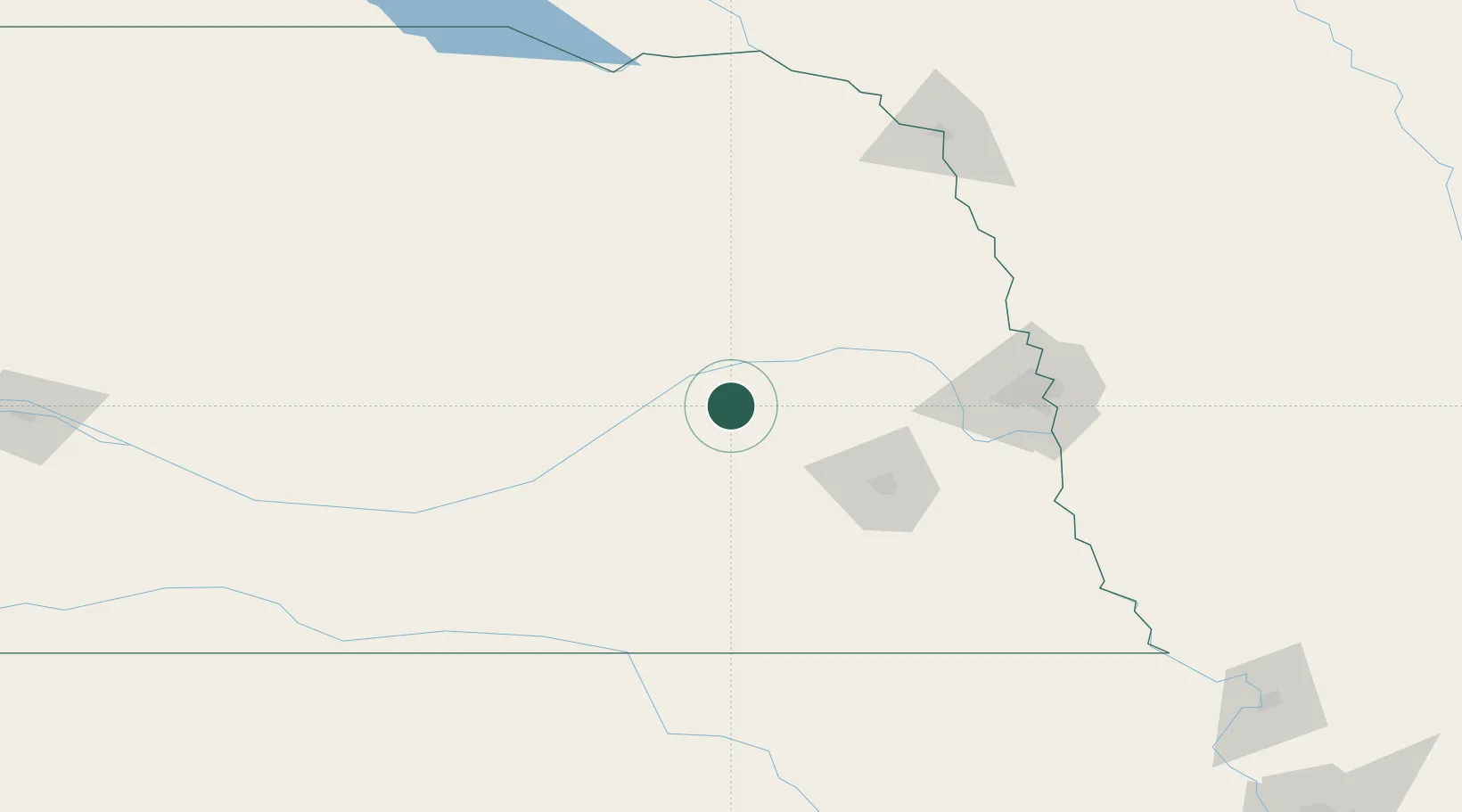
Place type
Populated place
Region
Nebraska
Population
685
Time zone
America/Chicago
Elevation
500 m
Location
Nearby Logistics Neighbours
Cities
- 1David City26 km
- 2Platte Center39 km
- 3Seward42 km
- 4Goehner44 km
- 5Valparaiso50 km
Ports
- 1Superior751 km
- 2Duluth752 km
- 3Two Harbors795 km
- 4Ashland798 km
- 5Washburn803 km
Airports
- 1Columbus Municipal Airport30 km
- 2Lincoln Airport67 km
- 3Central Nebraska Regional Airport79 km
- 4Karl Stefan Memorial Airport89 km
- 5Offutt Air Force Base127 km
Trade Zones
- 1FTZ No. 059 Lincoln65 km
- 2FTZ No. 133 Quad-Cities, Iowa Illinois148 km
- 3FTZ No. 288 Northwest Iowa246 km
- 4FTZ No. 220 Sioux Falls268 km
- 5FTZ No. 107 Polk County314 km
DatabookThe Record of Consolidated Knowledge
United States beyond logistics?