UN/LOCODE hub · United States
USMUG
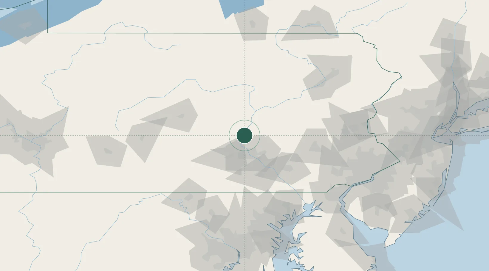
Millersburg
40.5333°, -76.9500°
2,536
Population
2
Transport functions
Transport Functions
Rail
Road
Hub Profile
Place type
Populated place
Region
Pennsylvania
Population
2,536
Time zone
America/New_York
Elevation
131 m
Location
Nearby Logistics Neighbours
Cities
- 1Halifax8 km
- 2Berrysburg12 km
- 3Elizabethville13 km
- 4Newport, Perry16 km
- 5Dauphin19 km
Ports
- 1Havre De Grace133 km
- 2Baltimore144 km
- 3Wilmington149 km
- 4Marcus Hook153 km
- 5Deepwater Point153 km
Airports
Trade Zones
- 1FTZ No. 147 Berks County60 km
- 2FTZ No. 272 Counties of Lehigh and Northampton103 km
- 3FTZ No. 024 Pittston130 km
- 4FTZ No. 074 Baltimore144 km
- 5FTZ No. 099 Wilmington148 km
DatabookThe Record of Consolidated Knowledge
United States beyond logistics?