UN/LOCODE hub · United States
USYHX

Halifax

40.4667°, -76.9167°
833
Population
2
Transport functions

Transport Functions

Rail
Road
UN/LOCODE

Hub Profile

Place type
Populated place
GeoNames
Region
Pennsylvania
GeoNames
Population
833
GeoNames
Time zone
America/New_York
GeoNames
Elevation
126 m
GeoNames

Location

Location of USYHX
Natural Earth 10m (public domain) · Pennsylvania · USYHX · 40.47, -76.92GoogleOSMYandex

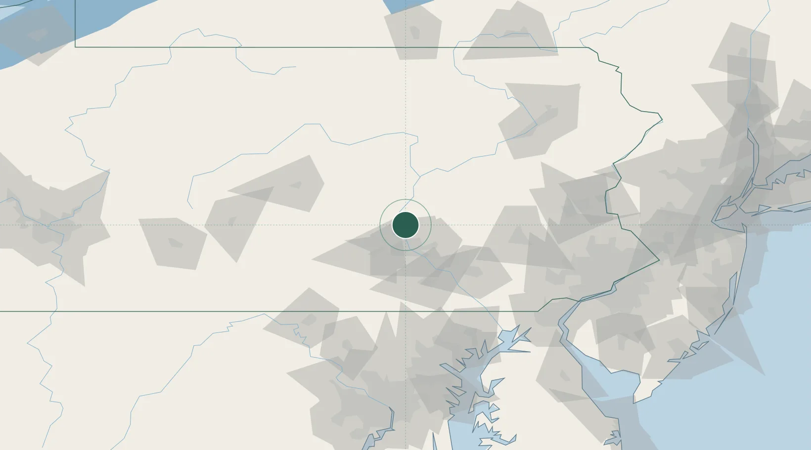
Nearby Logistics Neighbours

Cities
  1. 1Millersburg8 km
  2. 2Dauphin11 km
  3. 3Elizabethville12 km
  4. 4Berrysburg16 km
  5. 5Newport, Perry17 km
Nearest neighbours — logibook spatial index (haversine) over the source coordinates
Ports
  1. 1Havre De Grace126 km
  2. 2Baltimore136 km
  3. 3Wilmington142 km
  4. 4New Castle146 km
  5. 5Deepwater Point147 km
Nearest neighbours — logibook spatial index (haversine) over the source coordinates
Airports
  1. 1Muir Army Air Field (Fort Indiantown Gap) Airport30 km
  2. 2Harrisburg International Airport33 km
  3. 3Lancaster Airport65 km
  4. 4Reading Regional Airport (Carl A Spaatz Field)81 km
  5. 5Williamsport Regional Airport86 km
Nearest neighbours — logibook spatial index (haversine) over the source coordinates
Trade Zones
  1. 1FTZ No. 147 Berks County56 km
  2. 2FTZ No. 272 Counties of Lehigh and Northampton102 km
  3. 3FTZ No. 024 Pittston134 km
  4. 4FTZ No. 074 Baltimore136 km
  5. 5FTZ No. 099 Wilmington142 km
Nearest neighbours — logibook spatial index (haversine) over the source coordinates
DatabookThe Record of Consolidated Knowledge
United States beyond logistics?
Browse databook

All Sources

LocationsUN/LOCODE
UN/LOCODE — free
LocationsGeoNames
CC BY 4.0
Portsthe NGA World Port Index
Public domain (US gov)
AirportsOurAirports
Public domain
Trade Zonesthe World Bank SEZ database
CC BY 4.0
Trade ZonesOpen Zone Map
CC BY
← United States locations