UN/LOCODE hub · United States
USZHV

Hanover

43.7000°, -72.2833°
8,636
Population
2
Transport functions

Transport Functions

Road
Multimodal
UN/LOCODE

Hub Profile

Place type
Populated place
GeoNames
Region
New Hampshire
GeoNames
Population
8,636
GeoNames
Time zone
America/New_York
GeoNames
Elevation
162 m
GeoNames

Location

Location of USZHV
Natural Earth 10m (public domain) · New Hampshire · USZHV · 43.70, -72.28GoogleOSMYandex

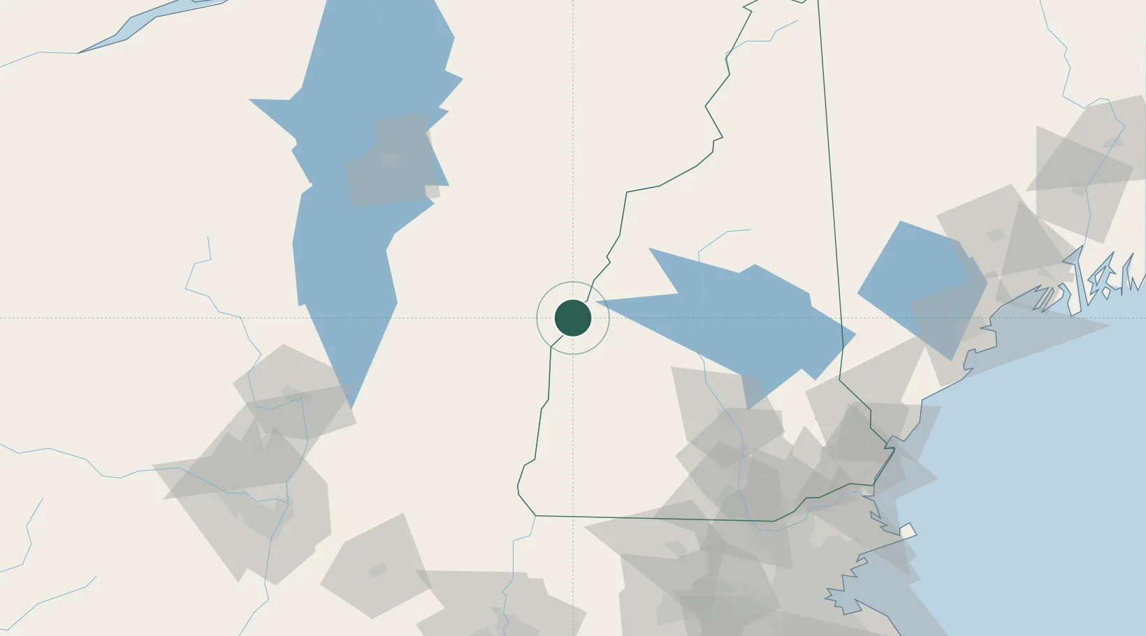
Nearby Logistics Neighbours

Cities
  1. 1Norwich2 km
  2. 2Wilder5 km
  3. 3Lebanon6 km
  4. 4North Hartland14 km
  5. 5Sharon16 km
Nearest neighbours — logibook spatial index (haversine) over the source coordinates
Ports
  1. 1Portsmouth142 km
  2. 2Saco149 km
  3. 3Newburyport151 km
  4. 4Kennebunkport151 km
  5. 5Troy157 km
Nearest neighbours — logibook spatial index (haversine) over the source coordinates
Airports
  1. 1Lebanon Municipal Airport8 km
  2. 2Rutland - Southern Vermont Regional Airport57 km
  3. 3Edward F Knapp State Airport60 km
  4. 4Concord Municipal Airport84 km
  5. 5Dillant Hopkins Airport89 km
Nearest neighbours — logibook spatial index (haversine) over the source coordinates
Trade Zones
  1. 1FTZ No. 268 Brattleboro97 km
  2. 2FTZ No. 081 Portsmouth137 km
  3. 3FTZ No. 121 Albany166 km
  4. 4FTZ No. 201 Holyoke168 km
  5. 5FTZ No. 263 Auburn172 km
Nearest neighbours — logibook spatial index (haversine) over the source coordinates
DatabookThe Record of Consolidated Knowledge
United States beyond logistics?
Browse databook

All Sources

LocationsUN/LOCODE
UN/LOCODE — free
LocationsGeoNames
CC BY 4.0
Portsthe NGA World Port Index
Public domain (US gov)
AirportsOurAirports
Public domain
Trade Zonesthe World Bank SEZ database
CC BY 4.0
Trade ZonesOpen Zone Map
CC BY
← United States locations