UN/LOCODE hub · United States
USNFJ
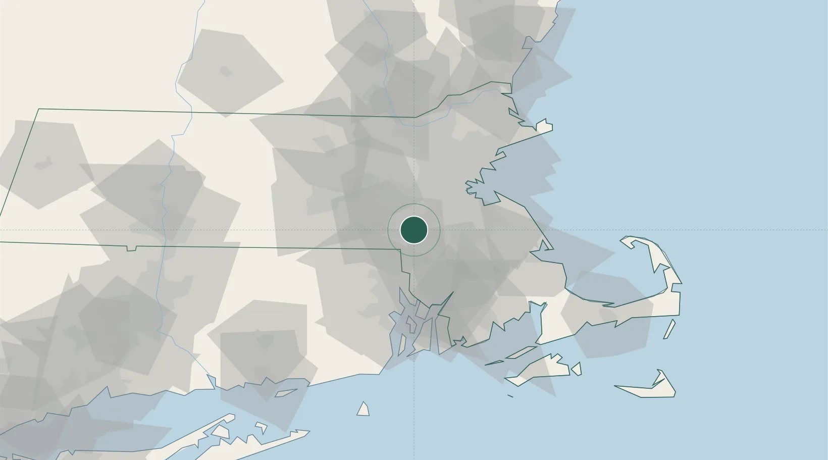
Norfolk
42.1167°, -71.3167°
10,386
Population
2
Transport functions
Transport Functions
Road
Multimodal
Hub Profile
Place type
Populated place
Region
Massachusetts
Population
10,386
Time zone
America/New_York
Elevation
63 m
Location
Nearby Logistics Neighbours
Cities
- 1Medway6 km
- 2South Walpole6 km
- 3Millis6 km
- 4East Walpole10 km
- 5Dover13 km
Ports
- 1Quincy32 km
- 2Boston34 km
- 3Providence36 km
- 4Lynn48 km
- 5Fall River48 km
Airports
Trade Zones
DatabookThe Record of Consolidated Knowledge
United States beyond logistics?