Transport Functions
Rail
Road
Multimodal
Hub Profile
Place type
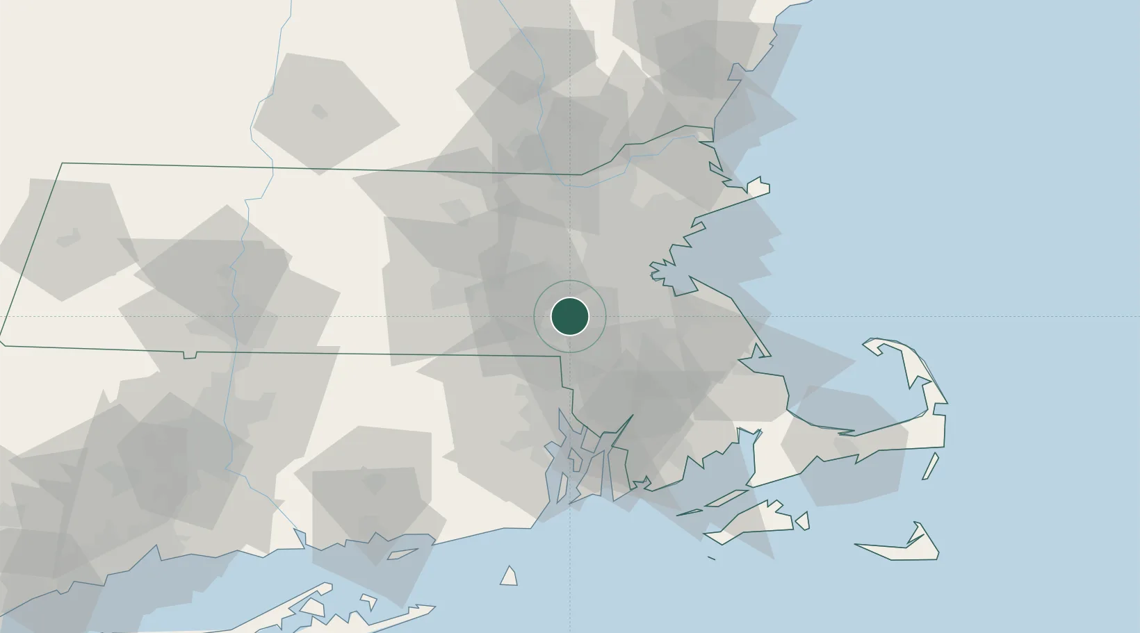
Populated place
Region
Massachusetts
Population
8,040
Time zone
America/New_York
Elevation
53 m
Location
Nearby Logistics Neighbours
Cities
- 1Medway5 km
- 2Norfolk6 km
- 3Sherborn8 km
- 4Dover9 km
- 5South Walpole11 km
Ports
- 1Boston32 km
- 2Quincy33 km
- 3Providence41 km
- 4Lynn46 km
- 5Scituate52 km
Airports
Trade Zones
DatabookThe Record of Consolidated Knowledge
United States beyond logistics?