Transport Functions
Road
Multimodal
Hub Profile
Place type
Populated place
Region
Massachusetts
Population
2,265
Time zone
America/New_York
Elevation
53 m
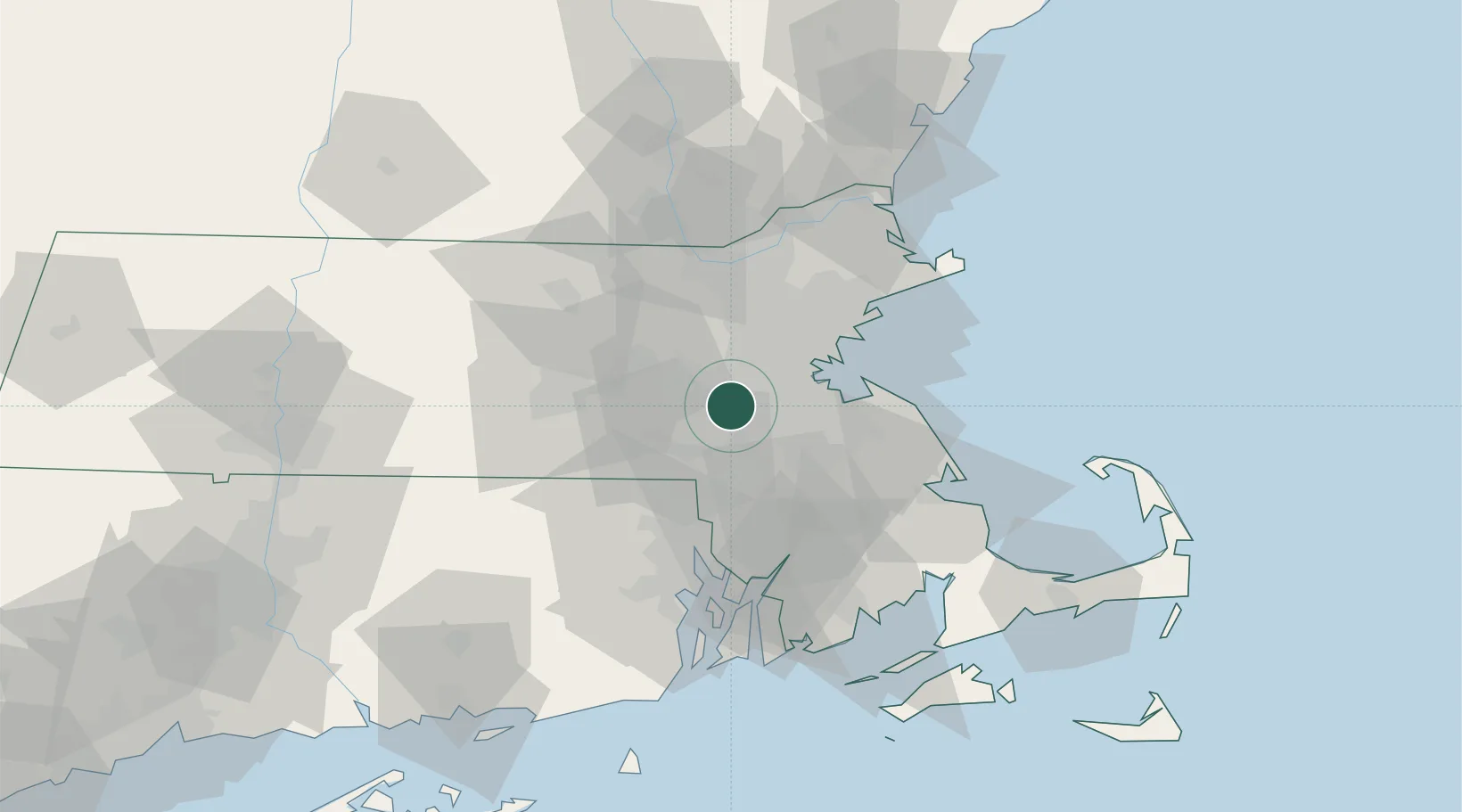
Location
Nearby Logistics Neighbours
Cities
- 1Sherborn7 km
- 2Natick8 km
- 3Millis9 km
- 4Auburndale12 km
- 5Eliot12 km
Ports
- 1Boston23 km
- 2Quincy26 km
- 3Lynn37 km
- 4Salem46 km
- 5Marblehead46 km
Airports
Trade Zones
DatabookThe Record of Consolidated Knowledge
United States beyond logistics?