Transport Functions
Port
Rail
Road
Multimodal
Hub Profile
Place type
Populated place
Region
Massachusetts
Time zone
America/New_York
Elevation
39 m
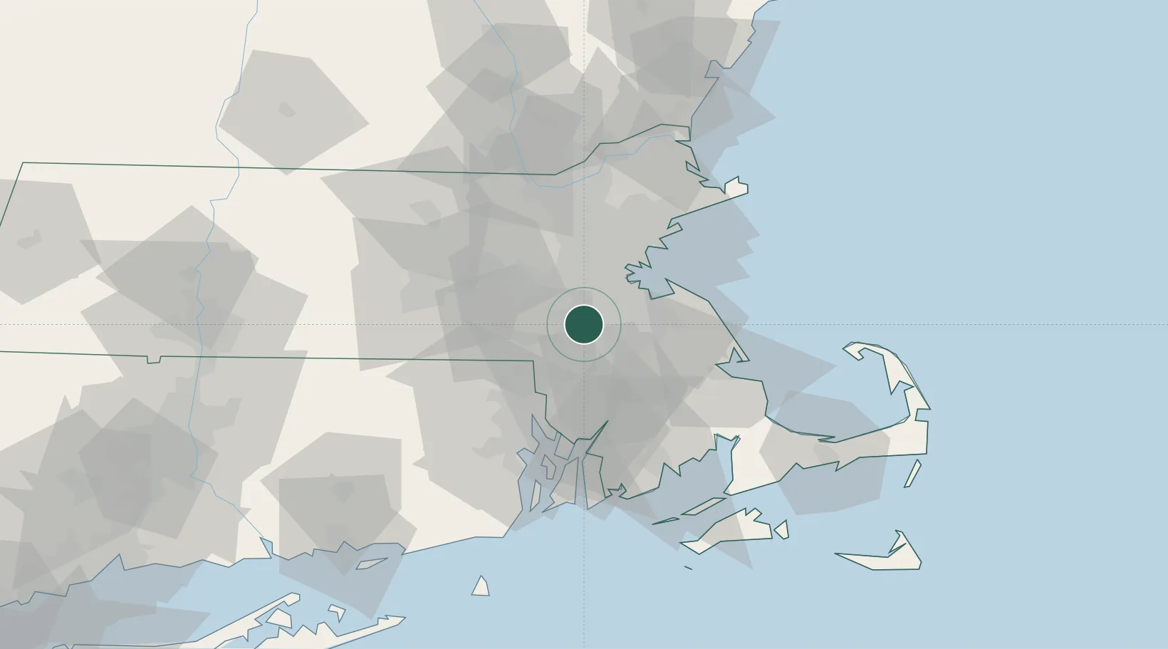
Location
Nearby Logistics Neighbours
Cities
- 1South Walpole7 km
- 2Norfolk10 km
- 3Dover12 km
- 4Millis13 km
- 5Medway15 km
Ports
- 1Quincy22 km
- 2Boston25 km
- 3Lynn39 km
- 4Scituate40 km
- 5Providence42 km
Airports
Trade Zones
- 1FTZ No. 027 Boston20 km
- 2FTZ No. 105 Providence and North Kingstown43 km
- 3FTZ No. 028 New Bedford57 km
- 4FTZ No. 081 Portsmouth105 km
- 5FTZ No. 208 New London116 km
DatabookThe Record of Consolidated Knowledge
United States beyond logistics?