UN/LOCODE hub · United States
USNAH
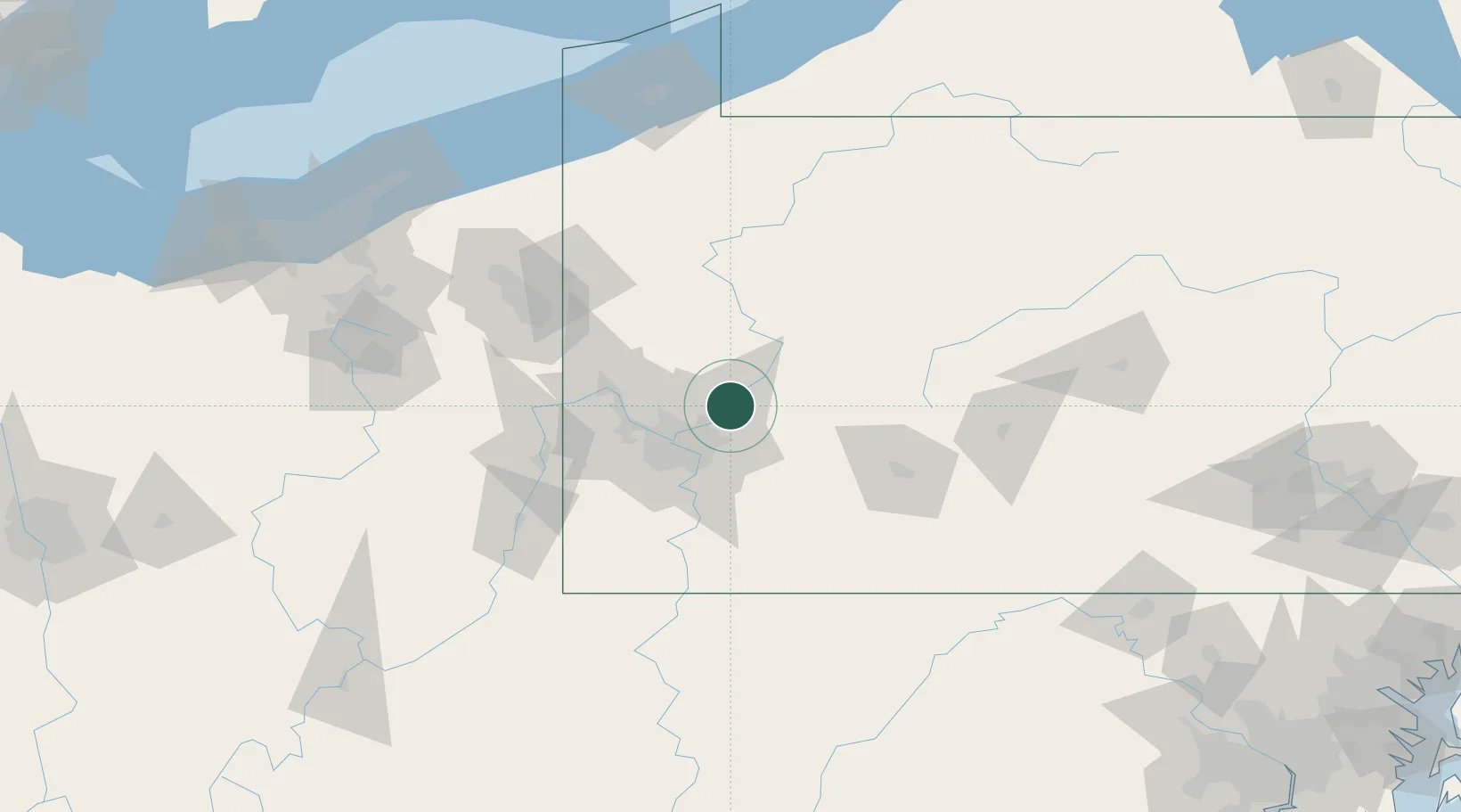
Natrona Heights
40.6167°, -79.7167°
10,927
Population
2
Transport functions
Transport Functions
Rail
Road
Hub Profile
Place type
Populated place
Region
Pennsylvania
Population
10,927
Time zone
America/New_York
Elevation
300 m
Location
Nearby Logistics Neighbours
Airports
Trade Zones
- 1FTZ No. 033 Pittsburgh35 km
- 2FTZ No. 295 Central Pennsylvania100 km
- 3FTZ No. 254 Jefferson County122 km
- 4FTZ No. 247 Erie170 km
- 5FTZ No. 181 Akron Canton175 km
DatabookThe Record of Consolidated Knowledge
United States beyond logistics?