UN/LOCODE hub · United States
USEE8
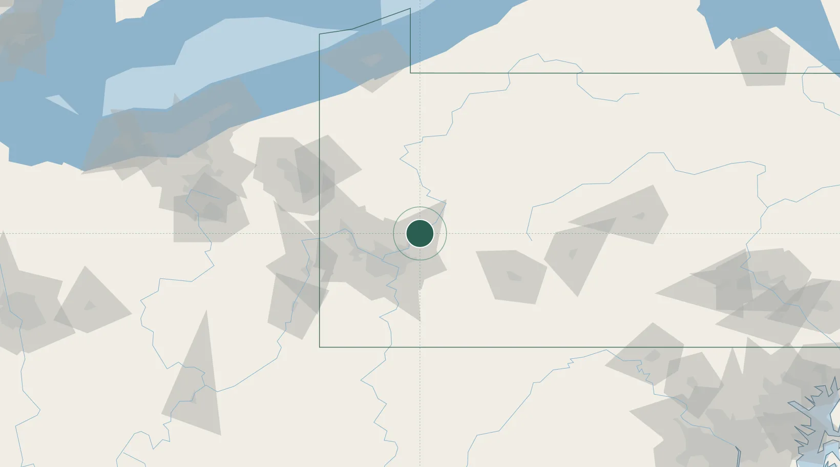
Freeport
40.6667°, -79.6833°
1,743
Population
2
Transport functions
Transport Functions
Port
Multimodal
Hub Profile
Place type
Populated place
Region
Pennsylvania
Population
1,743
Time zone
America/New_York
Elevation
241 m
Location
Nearby Logistics Neighbours
Cities
- 1Natrona Heights6 km
- 2Sarver9 km
- 3Arnold13 km
- 4Worthington19 km
- 5Blawnox24 km
Airports
Trade Zones
- 1FTZ No. 033 Pittsburgh41 km
- 2FTZ No. 295 Central Pennsylvania95 km
- 3FTZ No. 254 Jefferson County116 km
- 4FTZ No. 247 Erie165 km
- 5FTZ No. 181 Akron Canton176 km
DatabookThe Record of Consolidated Knowledge
United States beyond logistics?