Transport Functions
Rail
Road
Hub Profile
Place type
Populated place
Region
Pennsylvania
Time zone
America/New_York
Elevation
315 m
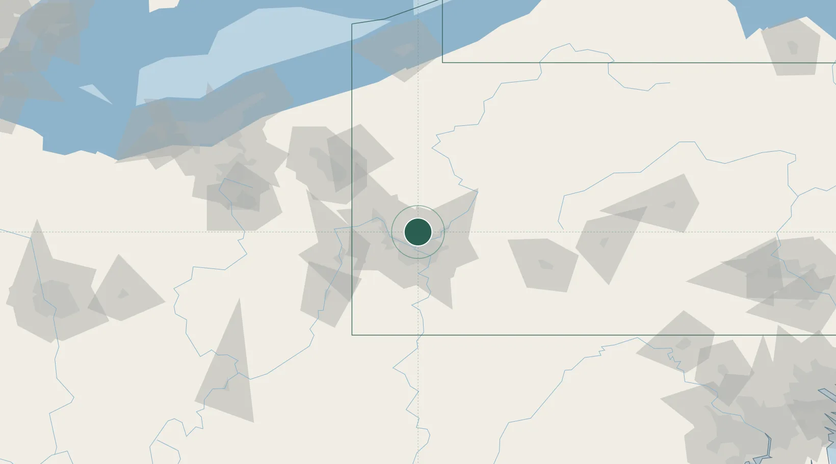
Location
Nearby Logistics Neighbours
Cities
- 1Etna10 km
- 2Ohio12 km
- 3Blawnox13 km
- 4Emsworth14 km
- 5Seven Fields14 km
Airports
Trade Zones
- 1FTZ No. 033 Pittsburgh18 km
- 2FTZ No. 295 Central Pennsylvania120 km
- 3FTZ No. 254 Jefferson County139 km
- 4FTZ No. 181 Akron Canton155 km
- 5FTZ No. 247 Erie171 km
DatabookThe Record of Consolidated Knowledge
United States beyond logistics?