Transport Functions
Port
Rail
Road
Hub Profile
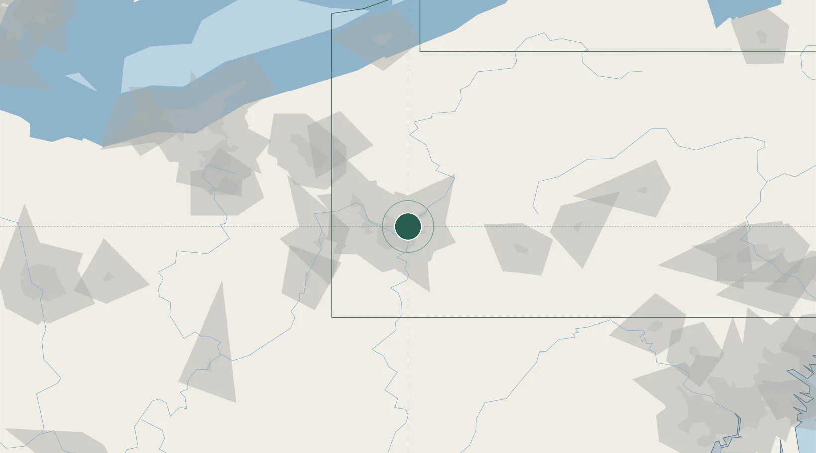
Place type
Populated place
Region
Pennsylvania
Population
1,416
Time zone
America/New_York
Elevation
248 m
Location
Nearby Logistics Neighbours
Cities
- 1Etna6 km
- 2Pittsburgh11 km
- 3Homestead12 km
- 4Monroeville12 km
- 5Turtle Creek12 km
Airports
Trade Zones
- 1FTZ No. 033 Pittsburgh17 km
- 2FTZ No. 295 Central Pennsylvania118 km
- 3FTZ No. 254 Jefferson County140 km
- 4FTZ No. 181 Akron Canton166 km
- 5FTZ No. 247 Erie181 km
DatabookThe Record of Consolidated Knowledge
United States beyond logistics?