Transport Functions
Road
Multimodal
Hub Profile
Place type
Populated place
Region
Pennsylvania
Time zone
America/New_York
Elevation
335 m
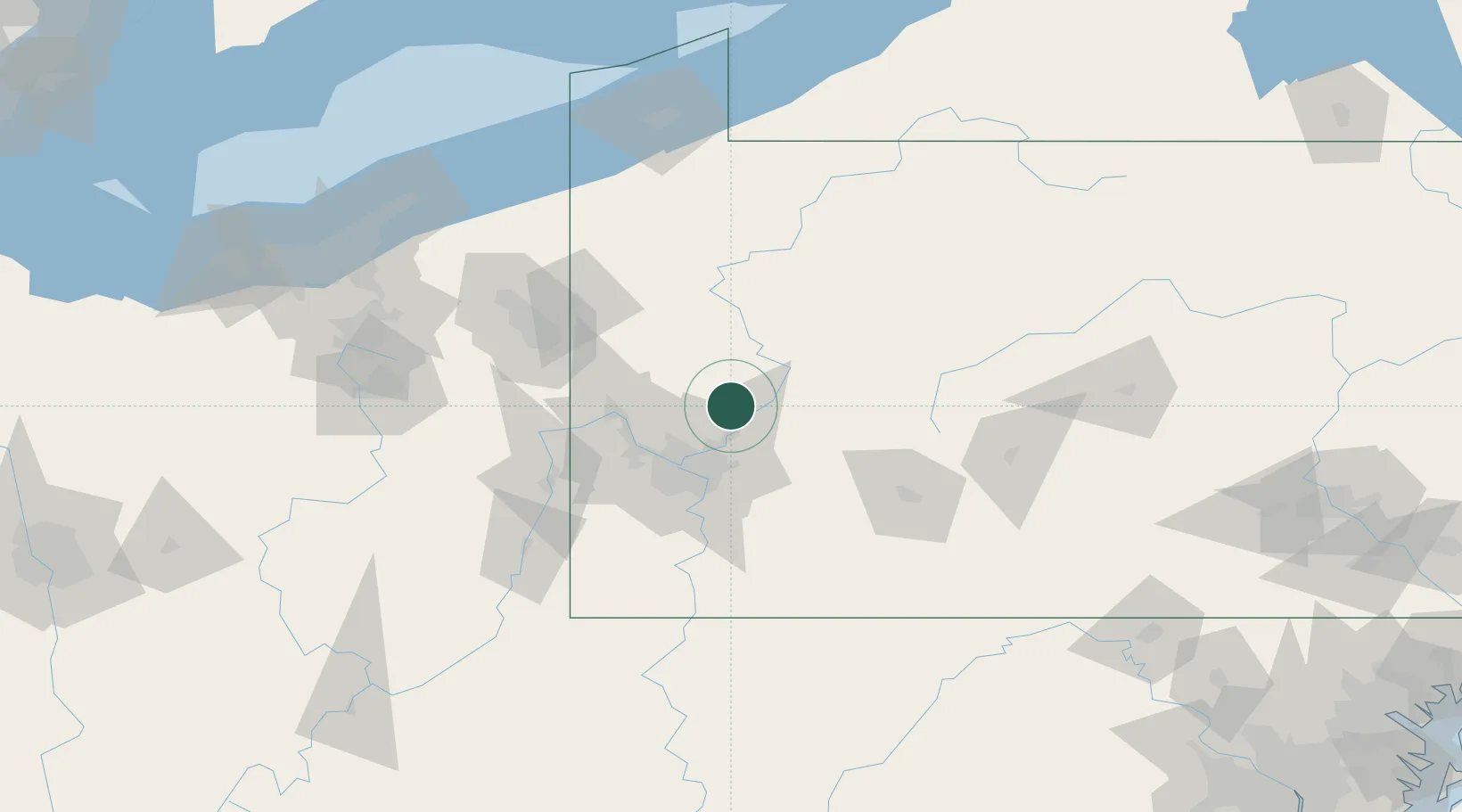
Location
Nearby Logistics Neighbours
Cities
- 1Freeport9 km
- 2Natrona Heights13 km
- 3Worthington15 km
- 4Renfrew18 km
- 5Arnold19 km
Airports
Trade Zones
- 1FTZ No. 033 Pittsburgh42 km
- 2FTZ No. 295 Central Pennsylvania96 km
- 3FTZ No. 254 Jefferson County115 km
- 4FTZ No. 247 Erie157 km
- 5FTZ No. 181 Akron Canton169 km
DatabookThe Record of Consolidated Knowledge
United States beyond logistics?