Transport Functions
Road
Multimodal
Hub Profile
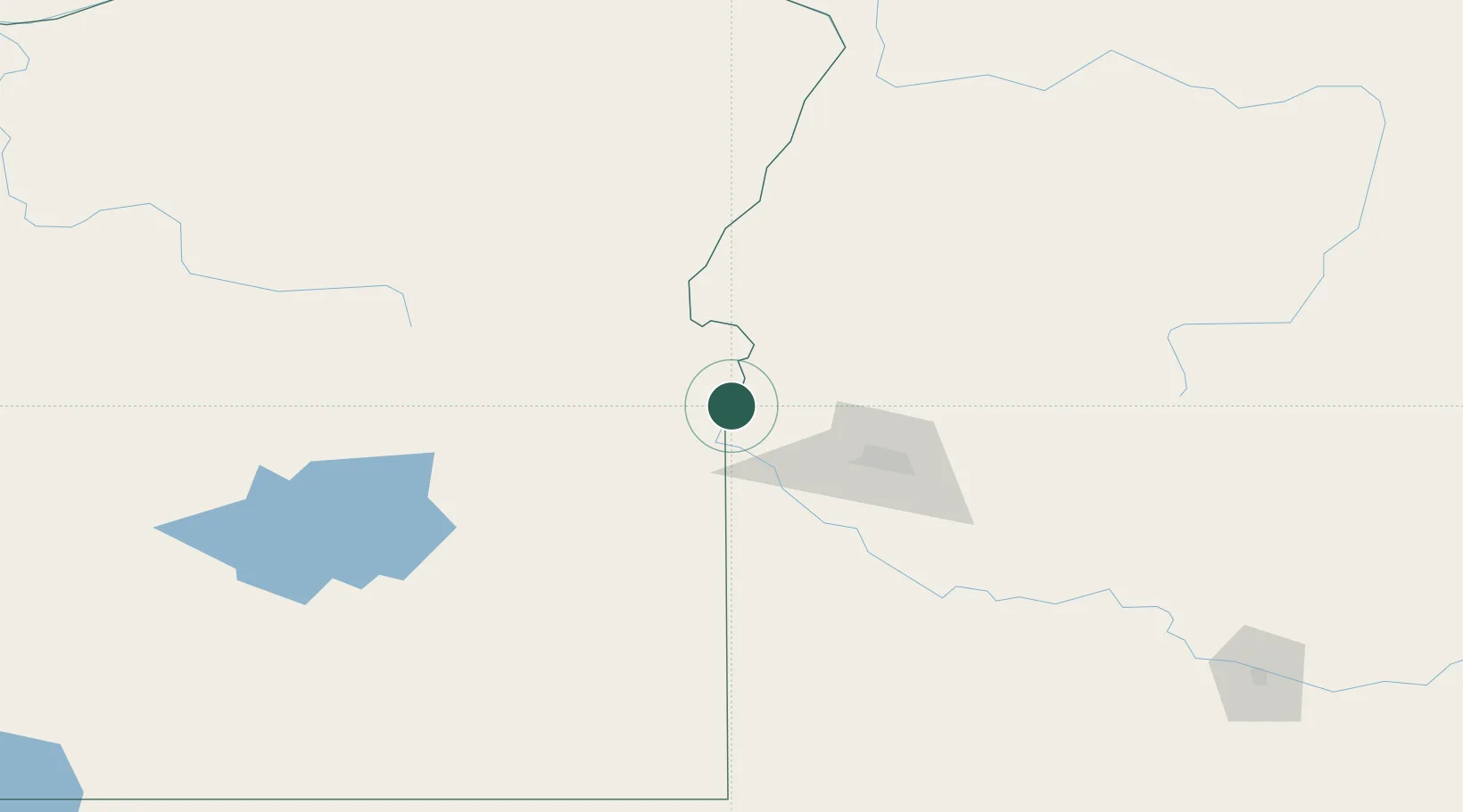
Place type
Populated place
Region
Oregon
Population
3,175
Time zone
America/Boise
Elevation
664 m
Location
Nearby Logistics Neighbours
Cities
- 1Parma12 km
- 2New Plymouth17 km
- 3Driggs21 km
- 4Vale21 km
- 5Sunnyslope38 km
Ports
- 1The Dalles382 km
- 2Washougal463 km
- 3Camas466 km
- 4Portland483 km
- 5Vancouver489 km
Airports
Trade Zones
- 1FTZ No. 280 Ada and Canyon Counties44 km
- 2FTZ No. 274 Butte-Silver Bow392 km
- 3FTZ No. 203 Moses Lake405 km
- 4FTZ No. 224 Spokane423 km
- 5FTZ No. 275 Lansing423 km
DatabookThe Record of Consolidated Knowledge
United States beyond logistics?