UN/LOCODE hub · United States
USZGX
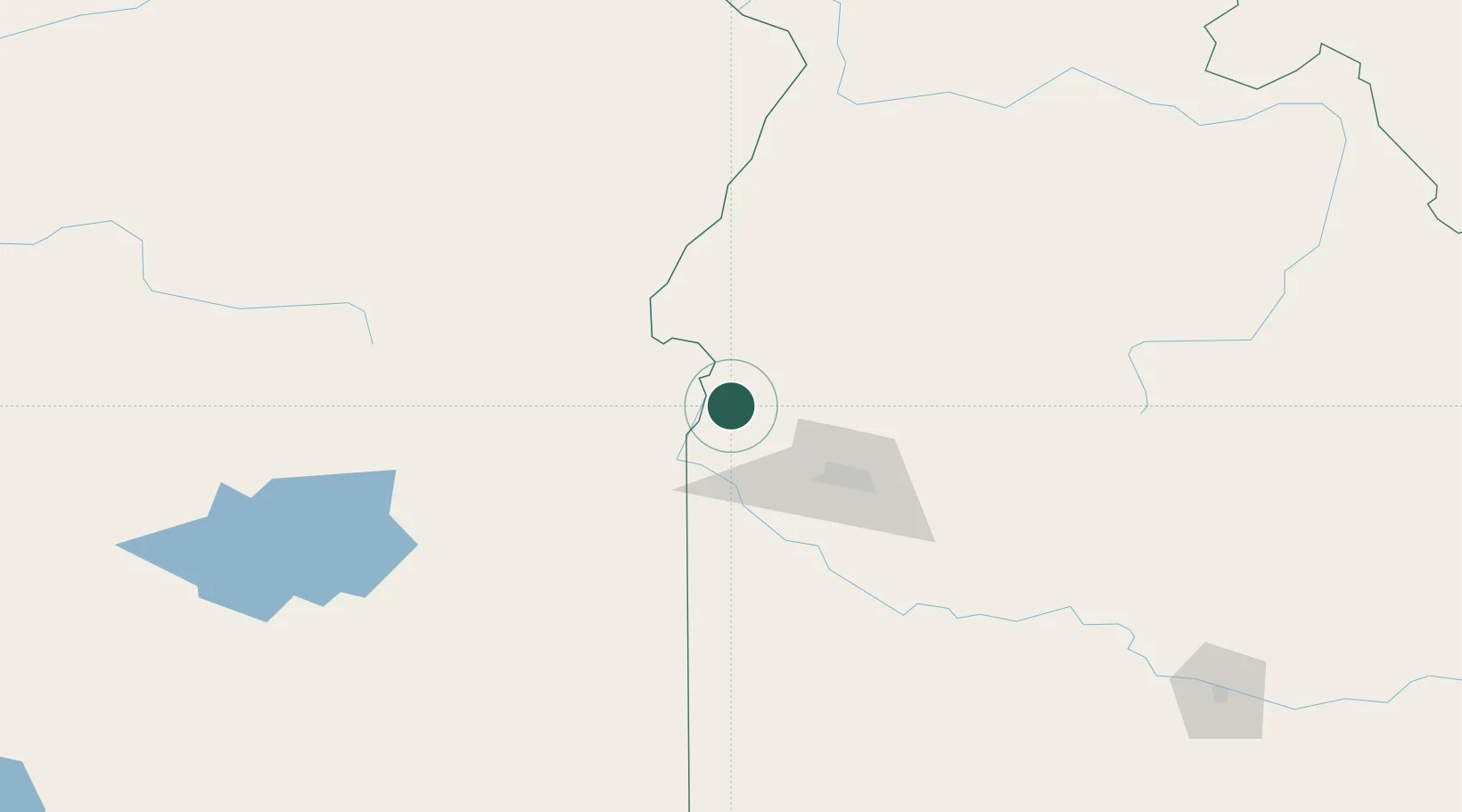
New Plymouth
43.9667°, -116.8167°
1,503
Population
1
Transport functions
Transport Functions
Multimodal
Hub Profile
Place type
Populated place
Region
Idaho
Population
1,503
Time zone
America/Boise
Elevation
689 m
Location
Nearby Logistics Neighbours
Cities
- 1Nyssa17 km
- 2Parma22 km
- 3Vale33 km
- 4Driggs37 km
- 5Sunnyslope43 km
Ports
- 1The Dalles390 km
- 2Washougal472 km
- 3Camas476 km
- 4Portland493 km
- 5Vancouver499 km
Airports
Trade Zones
- 1FTZ No. 280 Ada and Canyon Counties56 km
- 2FTZ No. 274 Butte-Silver Bow375 km
- 3FTZ No. 203 Moses Lake403 km
- 4FTZ No. 275 Lansing406 km
- 5FTZ No. 224 Spokane415 km
DatabookThe Record of Consolidated Knowledge
United States beyond logistics?