Medium airport · United States
Ontario Municipal AirportKONO
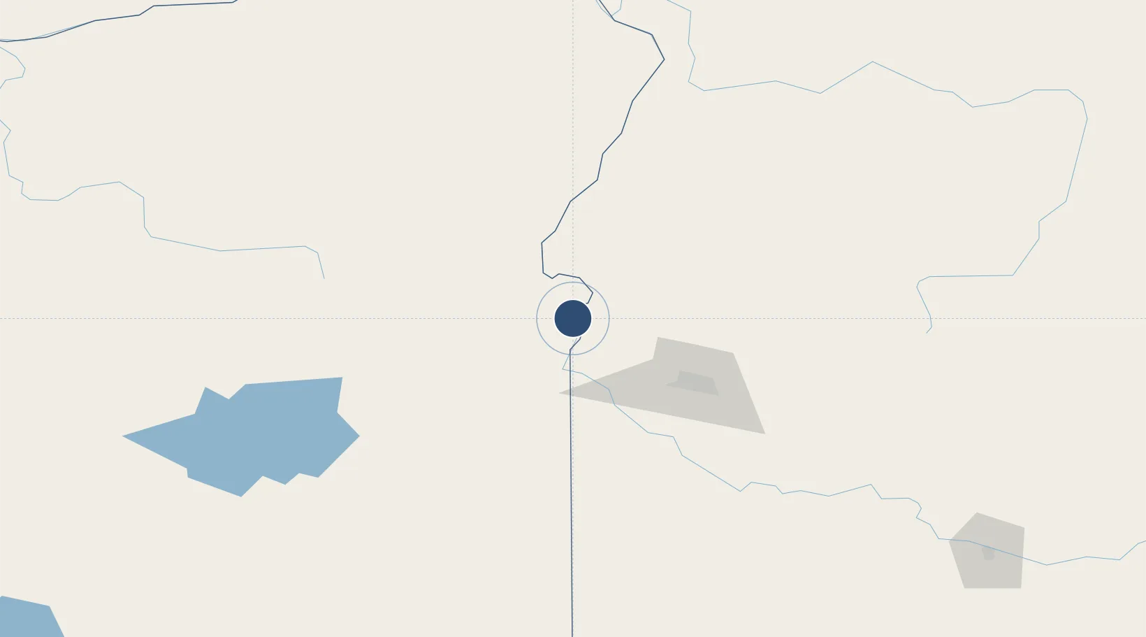
44.0198°, -117.0133°
5,006 ft
Longest runway
1
Runways
2,193 ft
Elevation
Runway & Layout

Radio Frequencies
ASOS
135.275 MHz
CNTR
128.05 MHz
SALT LAKE CITY CNTR
RDO
122.3 MHz
MC MINNVILLE RDO
UNIC
122.8 MHz
CTAF/UNICOM
Runways · 1
| Runway | Dimensions | Surface | True heading | Lit |
|---|---|---|---|---|
| 15/33 | 5,006 × 100ft | Asphalt | 159° | ✓ |
Airport Specifications
IATA code
ONO
ICAO code
KONO
Airport class
Medium airport
Scheduled service
No
Runway surface
Asphalt
Served city
Oregon
Location
Nearby Logistics Neighbours
Airports
- 1Boise Air Terminal/Gowen Field81 km
- 2Baker City Municipal Airport111 km
- 3McCall Municipal Airport121 km
- 4Mountain Home Air Force Base142 km
- 5Burns Municipal Airport163 km
Cities
- 1Nyssa15 km
- 2New Plymouth17 km
- 3Vale19 km
- 4Parma27 km
- 5Driggs35 km
Ports
- 1The Dalles373 km
- 2Washougal455 km
- 3Camas459 km
- 4Portland476 km
- 5Vancouver482 km
Trade Zones
- 1FTZ No. 280 Ada and Canyon Counties59 km
- 2FTZ No. 274 Butte-Silver Bow384 km
- 3FTZ No. 203 Moses Lake390 km
- 4FTZ No. 224 Spokane408 km
- 5FTZ No. 275 Lansing415 km
DatabookThe Record of Consolidated Knowledge
United States beyond logistics?