Transport Functions
Road
Multimodal
Hub Profile
Place type
Populated place
Region
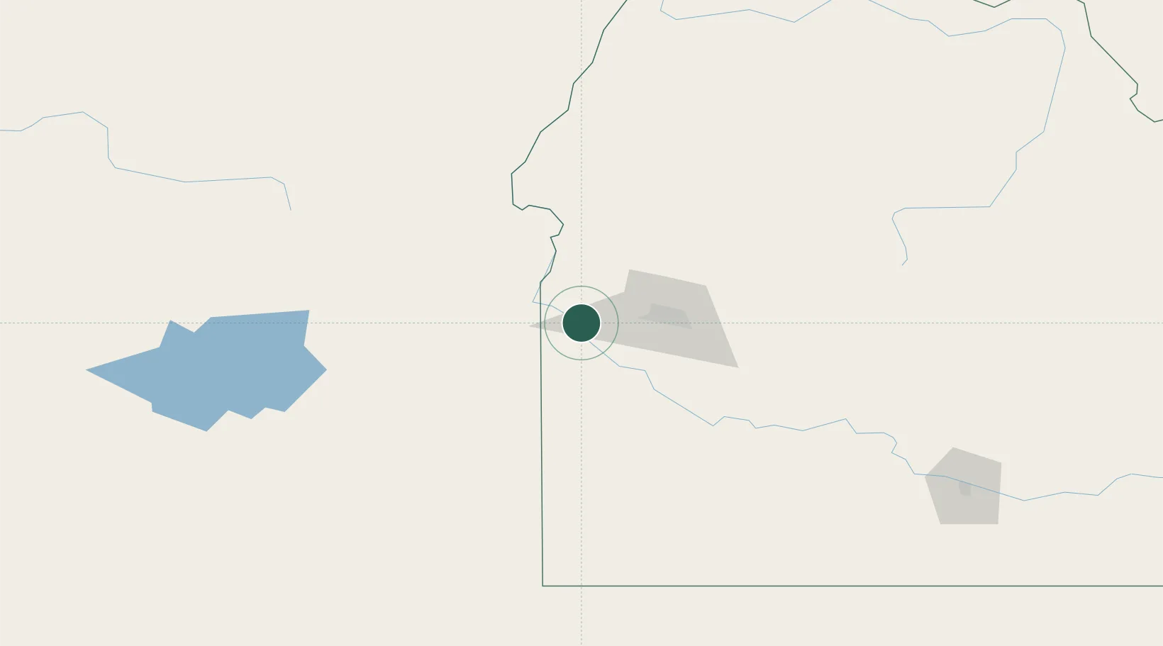
Idaho
Time zone
America/Boise
Elevation
731 m
Location
Nearby Logistics Neighbours
Cities
- 1Parma25 km
- 2Driggs31 km
- 3Eagle, Ada37 km
- 4Nyssa38 km
- 5New Plymouth43 km
Ports
- 1The Dalles414 km
- 2Washougal494 km
- 3Camas497 km
- 4Portland513 km
- 5Vancouver520 km
Airports
Trade Zones
- 1FTZ No. 280 Ada and Canyon Counties25 km
- 2FTZ No. 274 Butte-Silver Bow400 km
- 3FTZ No. 275 Lansing430 km
- 4FTZ No. 203 Moses Lake442 km
- 5FTZ No. 224 Spokane458 km
DatabookThe Record of Consolidated Knowledge
United States beyond logistics?