UN/LOCODE hub · United States
USXXK

Sutter Creek

38.3833°, -120.8000°
2,488
Population
1
Transport functions

Transport Functions

Multimodal
UN/LOCODE

Hub Profile

Place type
Populated place
GeoNames
Region
California
GeoNames
Population
2,488
GeoNames
Time zone
America/Los_Angeles
GeoNames
Elevation
362 m
GeoNames

Location

Location of USXXK
Natural Earth 10m (public domain) · California · USXXK · 38.38, -120.80GoogleOSMYandex

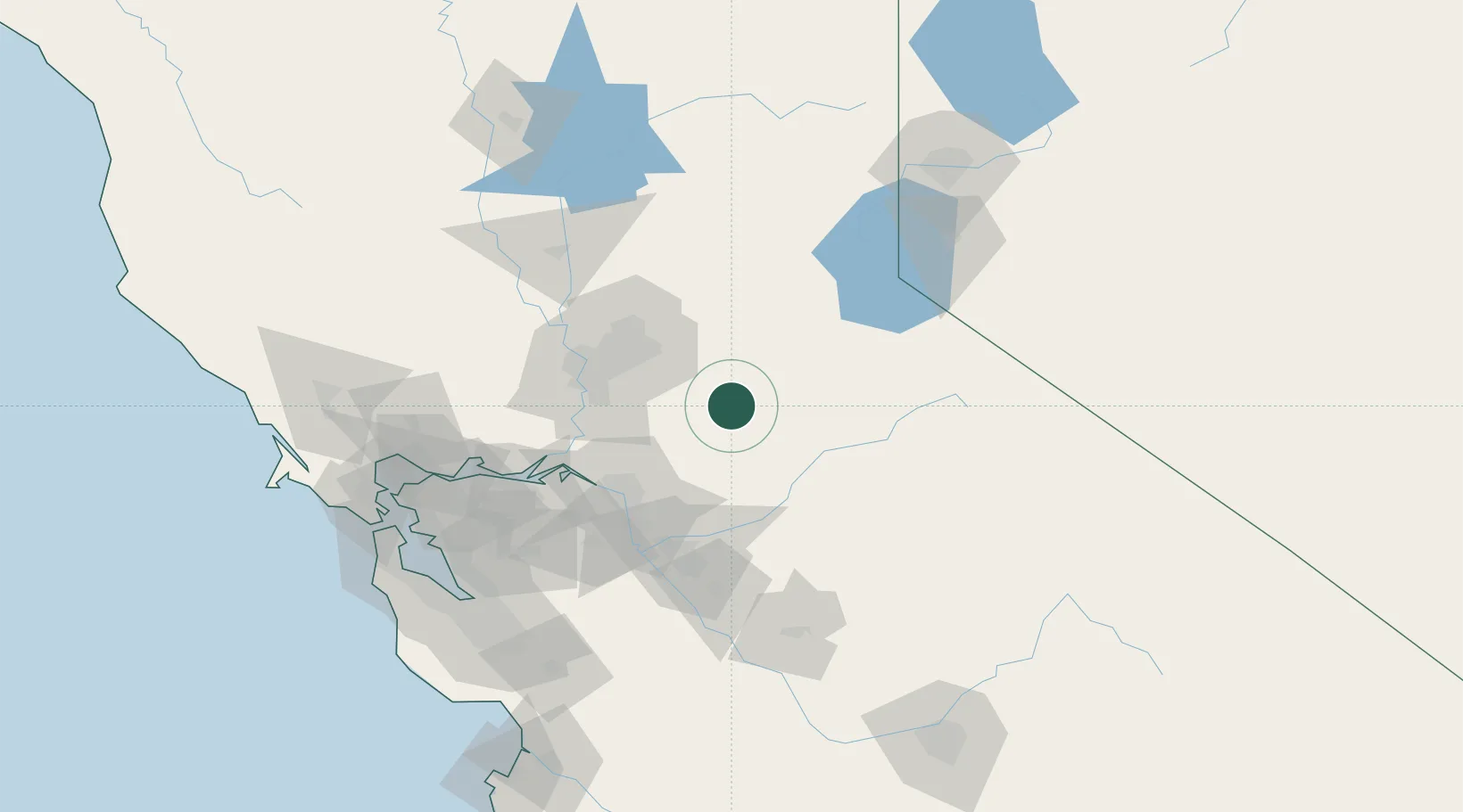
Nearby Logistics Neighbours

Cities
  1. 1Drytown7 km
  2. 2Fiddletown14 km
  3. 3Valley Springs21 km
  4. 4Fair Play26 km
  5. 5Shingle Springs31 km
Nearest neighbours — logibook spatial index (haversine) over the source coordinates
Ports
  1. 1Walnut Grove65 km
  2. 2Sacramento65 km
  3. 3Stockton65 km
  4. 4Courtland67 km
  5. 5Isleton74 km
Nearest neighbours — logibook spatial index (haversine) over the source coordinates
Airports
  1. 1Sacramento Mather Airport47 km
  2. 2McClellan Airfield61 km
  3. 3Sacramento Executive Airport62 km
  4. 4Stockton Metropolitan Airport67 km
  5. 5Sacramento International Airport77 km
Nearest neighbours — logibook spatial index (haversine) over the source coordinates
Trade Zones
  1. 1FTZ No. 231 Stockton67 km
  2. 2FTZ No. 143 West Sacramento67 km
  3. 3FTZ No. 226 Merced, Madera and Fresno Counties123 km
  4. 4FTZ No. 056 Oakland144 km
  5. 5FTZ No. 018 San Jose150 km
Nearest neighbours — logibook spatial index (haversine) over the source coordinates
DatabookThe Record of Consolidated Knowledge
United States beyond logistics?
Browse databook

All Sources

LocationsUN/LOCODE
UN/LOCODE — free
LocationsGeoNames
CC BY 4.0
Portsthe NGA World Port Index
Public domain (US gov)
AirportsOurAirports
Public domain
Trade Zonesthe World Bank SEZ database
CC BY 4.0
Trade ZonesOpen Zone Map
CC BY
← United States locations