Transport Functions
Road
Multimodal
Hub Profile
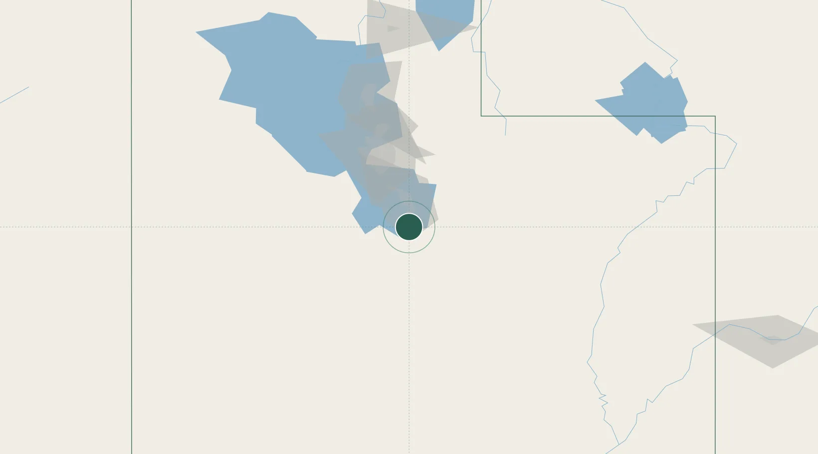
Place type
Populated place
Region
Utah
Population
7,475
Time zone
America/Denver
Elevation
1,405 m
Location
Nearby Logistics Neighbours
Cities
- 1Elberta27 km
- 2Vineyard31 km
- 3Cedar Hills40 km
- 4Bluffdale53 km
- 5Draper53 km
Ports
- 1Sacramento861 km
- 2Stockton864 km
- 3Walnut Grove873 km
- 4Courtland874 km
- 5Isleton882 km
Airports
Trade Zones
- 1FTZ No. 030 Salt Lake City85 km
- 2FTZ No. 298 Jefferson County557 km
- 3FTZ No. 123 Denver571 km
- 4FTZ No. 280 Ada and Canyon Counties589 km
- 5FTZ No. 170 Clark County601 km
DatabookThe Record of Consolidated Knowledge
United States beyond logistics?