Transport Functions
Road
Multimodal
Hub Profile
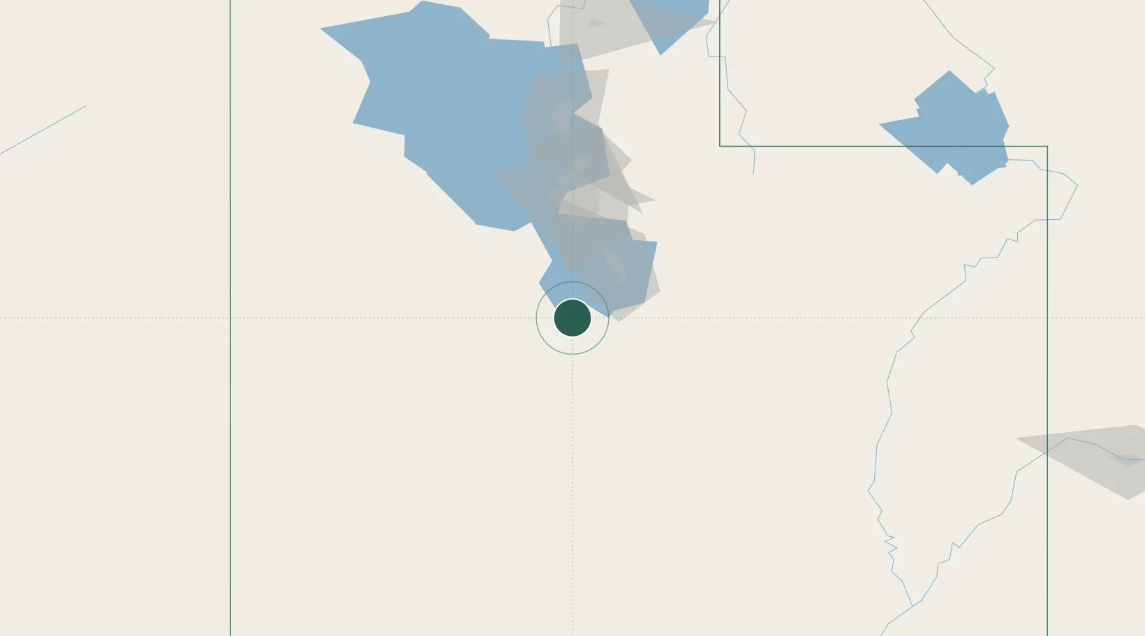
Place type
Populated place
Region
Utah
Population
256
Time zone
America/Denver
Elevation
1,421 m
Location
Nearby Logistics Neighbours
Cities
- 1Salem27 km
- 2Levan43 km
- 3Vineyard44 km
- 4Cedar Hills53 km
- 5Moroni56 km
Ports
- 1Sacramento836 km
- 2Stockton838 km
- 3Walnut Grove847 km
- 4Courtland848 km
- 5Isleton856 km
Airports
Trade Zones
DatabookThe Record of Consolidated Knowledge
United States beyond logistics?