Medium airport · United States

Winkler County AirportKINK

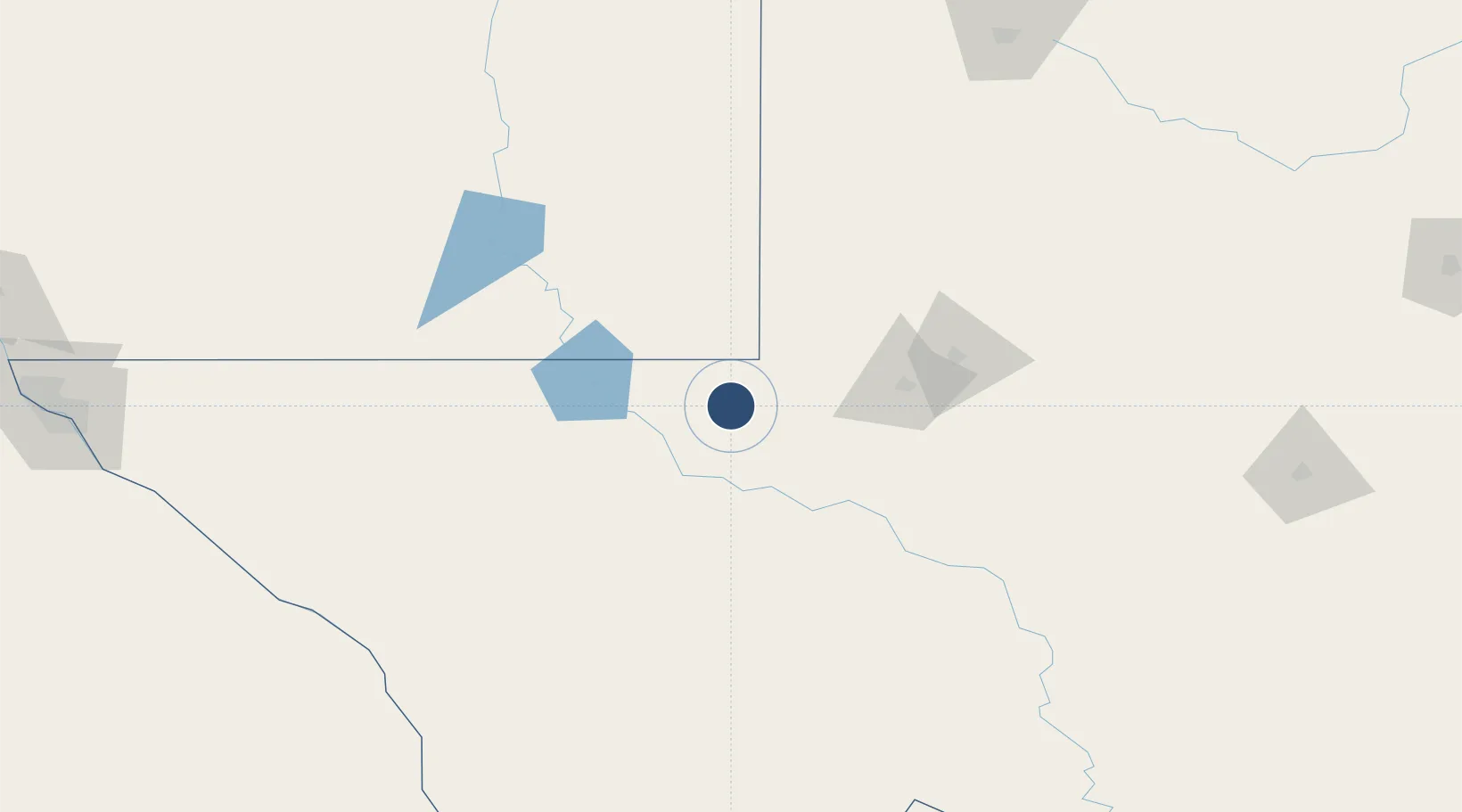
31.7796°, -103.2010°
5,003 ft
Longest runway
2
Runways
2,822 ft
Elevation

Runway & Layout

Winkler County Airport runway & taxiway layout
Runway & taxiway layout — OpenStreetMap (ODbL) / OurAirports

Radio Frequencies

ASOS
118.325 MHz
CNTR
133.1 MHz
FORT WORTH CNTR
RDO
122.05 MHz
SAN ANGELO RDO
UNIC
123 MHz
CTAF/UNICOM
OurAirports

Navaids

INK VORTAC Wink 112.10 MHz
OurAirports

Runways · 2

RunwayDimensions SurfaceTrue headingLit
13/31 5,003 × 100ft Asphalt 140°
04/22 3,514 × 100ft Asphalt 050°
OurAirports

Airport Specifications

IATA code
INK
OurAirports
ICAO code
KINK
OurAirports
Airport class
Medium airport
OurAirports
Scheduled service
No
OurAirports
Runway surface
Asphalt
OurAirports
Served city
Wink
OurAirports

Location

Location of KINK
Natural Earth 10m (public domain) · Texas · KINK · 31.78, -103.20GoogleOSMYandex

Nearby Logistics Neighbours

Airports
  1. 1Midland International Air and Space Port96 km
  2. 2Fort Stockton Pecos County Airport100 km
  3. 3Lea County Regional Airport101 km
  4. 4Cavern City Air Terminal118 km
  5. 5Roswell Air Center Airport210 km
Nearest neighbours — logibook spatial index (haversine) over the source coordinates
Cities
  1. 1Pecos48 km
  2. 2Gardendale83 km
  3. 3Balmorhea102 km
  4. 4McCamey118 km
  5. 5Carlsbad119 km
Nearest neighbours — logibook spatial index (haversine) over the source coordinates
Ports
  1. 1Corpus Christi712 km
  2. 2Port Lavaca724 km
  3. 3Rockport726 km
  4. 4Port Ingleside729 km
  5. 5Port Aransas738 km
Nearest neighbours — logibook spatial index (haversine) over the source coordinates
Trade Zones
  1. 1FTZ No. 165 Midland99 km
  2. 2FTZ No. 166 Homestead99 km
  3. 3FTZ No. 260 Lubbock229 km
  4. 4FTZ No. 261 Alexandria229 km
  5. 5FTZ No. 068 El Paso299 km
Nearest neighbours — logibook spatial index (haversine) over the source coordinates
DatabookThe Record of Consolidated Knowledge
United States beyond logistics?
Browse databook

All Sources

AirportsOurAirports
Public domain
Portsthe NGA World Port Index
Public domain (US gov)
LocationsUN/LOCODE
UN/LOCODE — free
Trade Zonesthe World Bank SEZ database
CC BY 4.0
Trade ZonesOpen Zone Map
CC BY
InfrastructureOpenStreetMap
ODbL 1.0
← United States airports