UN/LOCODE hub · United States
USBA7
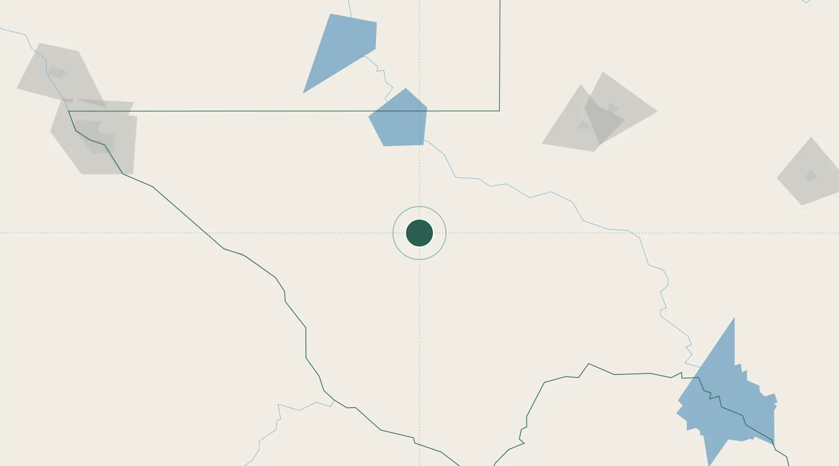
Balmorhea
30.9833°, -103.7333°
523
Population
1
Transport functions
Transport Functions
Port
Hub Profile
Place type
Populated place
Region
Texas
Population
523
Time zone
America/Chicago
Elevation
974 m
Location
Nearby Logistics Neighbours
Cities
- 1Fort Davis47 km
- 2Pecos54 km
- 3Valentine86 km
- 4McCamey145 km
- 5Carlsbad166 km
Ports
- 1Corpus Christi707 km
- 2Port Ingleside726 km
- 3Rockport726 km
- 4Port Lavaca735 km
- 5Port Aransas736 km
Airports
Trade Zones
- 1FTZ No. 165 Midland187 km
- 2FTZ No. 166 Homestead187 km
- 3FTZ No. 068 El Paso267 km
- 4FTZ No. 150 El Paso267 km
- 5FTZ No. 260 Lubbock331 km
DatabookThe Record of Consolidated Knowledge
United States beyond logistics?