UN/LOCODE hub · United States
USGT9
Gardendale
32.0167°, -102.3667°
1,574
Population
2
Transport functions
Transport Functions
Port
Road
Hub Profile
Place type
Populated place
Region
Texas
Population
1,574
Time zone
America/Chicago
Elevation
904 m
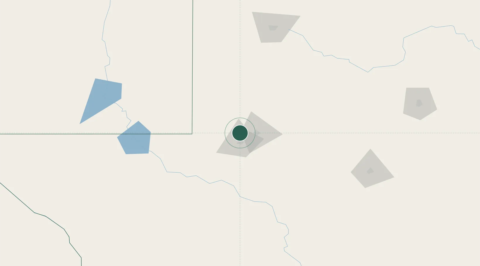
Location
Nearby Logistics Neighbours
Ports
- 1Corpus Christi669 km
- 2Port Lavaca669 km
- 3Rockport678 km
- 4Port Ingleside684 km
- 5Port Aransas692 km
Airports
Trade Zones
- 1FTZ No. 165 Midland17 km
- 2FTZ No. 166 Homestead17 km
- 3FTZ No. 260 Lubbock178 km
- 4FTZ No. 261 Alexandria178 km
- 5FTZ No. 252 Amarillo357 km
DatabookThe Record of Consolidated Knowledge
United States beyond logistics?