Medium airport · United States
Midland International Air and Space PortKMAF
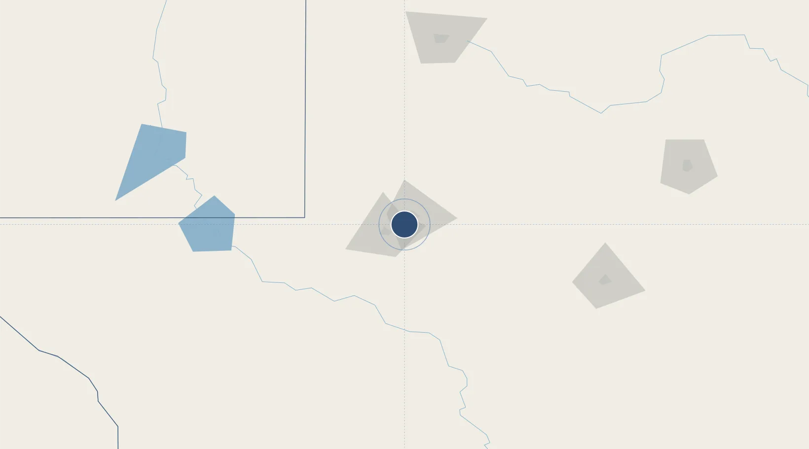
31.9425°, -102.2020°
9,501 ft
Longest runway
4
Runways
2,871 ft
Elevation
Runway & Layout

Radio Frequencies
ATIS
126.8 MHz
TWR
118.7 MHz
GND
121.9 MHz
CLD
118.05 MHz
CLNC DEL
CTAF
118.7 MHz
A/D
121.1 MHz
APP/DEP
RDO
122.6 MHz
SAN ANGELO RDO
UNIC
122.95 MHz
UNICOM
Navaids
MA NDB Farly 326 kHz
MAF VORTAC Midland 114.80 MHz
Runways · 4
| Runway | Dimensions | Surface | True heading | Lit |
|---|---|---|---|---|
| 16R/34L | 9,501 × 150ft | Asphalt | 175° | ✓ |
| 10/28 | 8,302 × 150ft | Asphalt | 114° | ✓ |
| 04/22 | 4,605 × 75ft | Asphalt | 054° | ✓ |
| 16L/34R | 4,247 × 100ft | Asphalt | 177° | ✓ |
Airport Specifications
IATA code
MAF
ICAO code
KMAF
Airport class
Medium airport
Scheduled service
Yes
Runway surface
Asphalt
Served city
Midland
Location
Nearby Logistics Neighbours
Airports
Cities
- 1Gardendale18 km
- 2McCamey90 km
- 3Pecos135 km
- 4Mertzon152 km
- 5Wilson159 km
Ports
- 1Port Lavaca651 km
- 2Corpus Christi652 km
- 3Rockport661 km
- 4Port Ingleside667 km
- 5Port Aransas675 km
Trade Zones
- 1FTZ No. 165 Midland10 km
- 2FTZ No. 166 Homestead10 km
- 3FTZ No. 260 Lubbock184 km
- 4FTZ No. 261 Alexandria184 km
- 5FTZ No. 252 Amarillo364 km
DatabookThe Record of Consolidated Knowledge
United States beyond logistics?