UN/LOCODE hub · United States
USPEQ

Pecos

31.4167°, -103.4833°
9,517
Population
3
Transport functions

Transport Functions

Rail
Road
Airport
UN/LOCODE

Hub Profile

Place type
Provincial seat
GeoNames
Region
Texas
GeoNames
Population
9,517
GeoNames
Time zone
America/Chicago
GeoNames
Elevation
787 m
GeoNames

Location

Location of USPEQ
Natural Earth 10m (public domain) · Texas · USPEQ · 31.42, -103.48GoogleOSMYandex

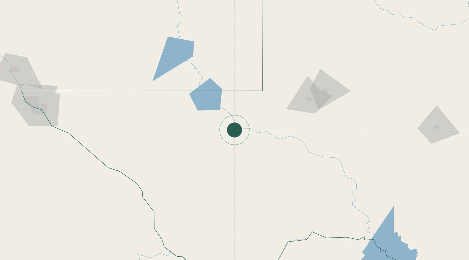
Nearby Logistics Neighbours

Cities
  1. 1Balmorhea54 km
  2. 2Fort Davis100 km
  3. 3McCamey124 km
  4. 4Gardendale125 km
  5. 5Carlsbad131 km
Nearest neighbours — logibook spatial index (haversine) over the source coordinates
Ports
  1. 1Corpus Christi711 km
  2. 2Rockport727 km
  3. 3Port Ingleside729 km
  4. 4Port Lavaca731 km
  5. 5Port Aransas738 km
Nearest neighbours — logibook spatial index (haversine) over the source coordinates
Airports
  1. 1Winkler County Airport48 km
  2. 2Fort Stockton Pecos County Airport78 km
  3. 3Cavern City Air Terminal126 km
  4. 4Midland International Air and Space Port135 km
  5. 5Lea County Regional Airport144 km
Nearest neighbours — logibook spatial index (haversine) over the source coordinates
Trade Zones
  1. 1FTZ No. 165 Midland140 km
  2. 2FTZ No. 166 Homestead140 km
  3. 3FTZ No. 068 El Paso277 km
  4. 4FTZ No. 150 El Paso277 km
  5. 5FTZ No. 260 Lubbock278 km
Nearest neighbours — logibook spatial index (haversine) over the source coordinates
DatabookThe Record of Consolidated Knowledge
United States beyond logistics?
Browse databook

All Sources

LocationsUN/LOCODE
UN/LOCODE — free
LocationsGeoNames
CC BY 4.0
Portsthe NGA World Port Index
Public domain (US gov)
AirportsOurAirports
Public domain
Trade Zonesthe World Bank SEZ database
CC BY 4.0
Trade ZonesOpen Zone Map
CC BY
← United States locations