UN/LOCODE hub · United States
USMP7
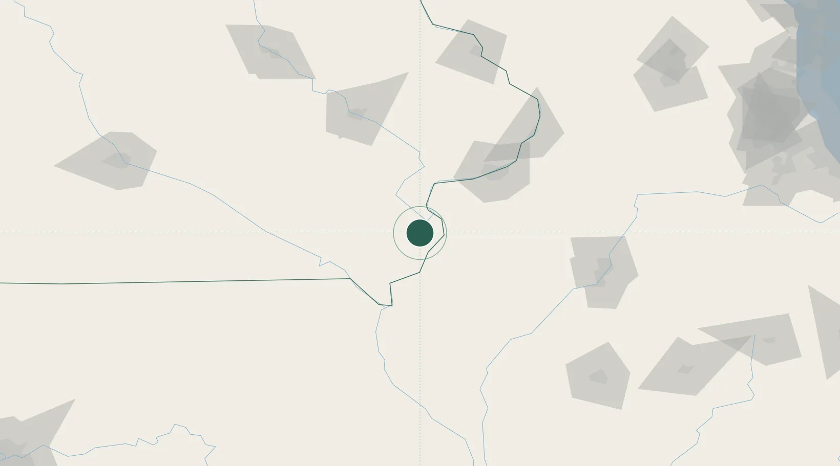
Mediapolis
41.0000°, -91.1500°
1,574
Population
2
Transport functions
Transport Functions
Port
Multimodal
Hub Profile
Place type
Populated place
Region
Iowa
Population
1,574
Time zone
America/Chicago
Elevation
235 m
Location
Nearby Logistics Neighbours
Cities
- 1West Burlington20 km
- 2New London22 km
- 3Houghton45 km
- 4Franklin47 km
- 5Illinois City48 km
Ports
- 1Great Lakes311 km
- 2Chicago312 km
- 3Wilmette313 km
- 4Calumet Harbor314 km
- 5Waukegan316 km
Airports
Trade Zones
- 1FTZ No. 055 Burlington21 km
- 2FTZ No. 175 Cedar Rapids120 km
- 3FTZ No. 114 Peoria136 km
- 4FTZ No. 271 Jo-Daviess and Carroll Counties165 km
- 5FTZ No. 176 Rockford213 km
DatabookThe Record of Consolidated Knowledge
United States beyond logistics?