UN/LOCODE hub · United States
USNML
New London
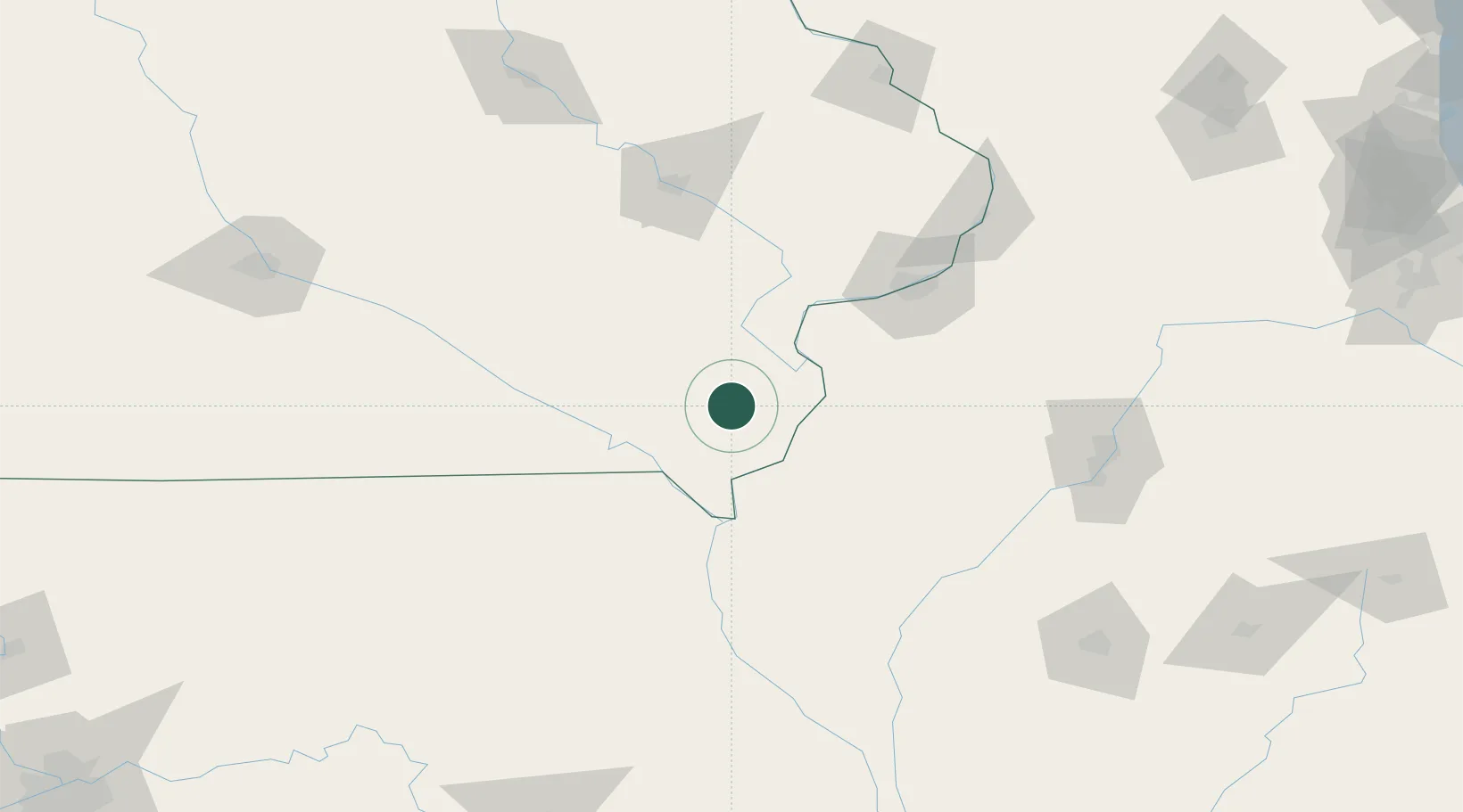
40.9333°, -91.4000°
1,882
Population
2
Transport functions
Transport Functions
Rail
Road
Hub Profile
Place type
Populated place
Region
Iowa
Population
1,882
Time zone
America/Chicago
Elevation
232 m
Location
Nearby Logistics Neighbours
Cities
- 1Mediapolis22 km
- 2Houghton24 km
- 3West Burlington25 km
- 4Franklin31 km
- 5Bonaparte43 km
Ports
- 1Great Lakes333 km
- 2Chicago334 km
- 3Wilmette335 km
- 4Calumet Harbor336 km
- 5Waukegan338 km
Airports
Trade Zones
- 1FTZ No. 055 Burlington29 km
- 2FTZ No. 175 Cedar Rapids120 km
- 3FTZ No. 114 Peoria155 km
- 4FTZ No. 271 Jo-Daviess and Carroll Counties181 km
- 5FTZ No. 107 Polk County210 km
DatabookThe Record of Consolidated Knowledge
United States beyond logistics?