UN/LOCODE hub · United States
USWBO
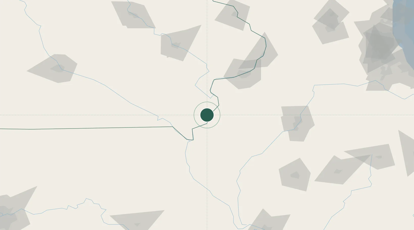
West Burlington
40.8167°, -91.1500°
3,047
Population
2
Transport functions
Transport Functions
Road
Multimodal
Hub Profile
Place type
Populated place
Region
Iowa
Population
3,047
Time zone
America/Chicago
Elevation
212 m
Location
Nearby Logistics Neighbours
Cities
- 1Mediapolis20 km
- 2New London25 km
- 3Franklin34 km
- 4Houghton38 km
- 5Hamilton51 km
Ports
- 1Chicago319 km
- 2Calumet Harbor320 km
- 3Wilmette321 km
- 4Great Lakes322 km
- 5Indiana Harbor325 km
Airports
Trade Zones
- 1FTZ No. 055 Burlington4 km
- 2FTZ No. 114 Peoria132 km
- 3FTZ No. 175 Cedar Rapids139 km
- 4FTZ No. 271 Jo-Daviess and Carroll Counties183 km
- 5FTZ No. 245 Decatur207 km
DatabookThe Record of Consolidated Knowledge
United States beyond logistics?