Transport Functions
Road
Multimodal
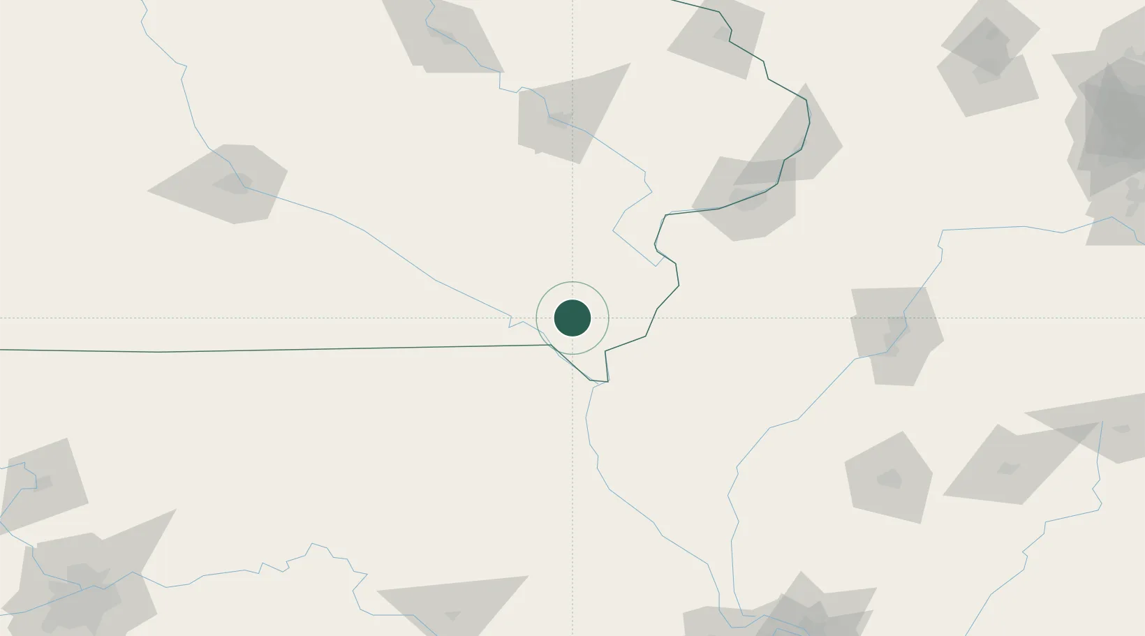
Hub Profile
Place type
Populated place
Region
Iowa
Population
144
Time zone
America/Chicago
Elevation
218 m
Location
Nearby Logistics Neighbours
Cities
- 1Franklin16 km
- 2Bonaparte19 km
- 3New London24 km
- 4Keosauqua30 km
- 5Kilbourn31 km
Ports
- 1Chicago356 km
- 2Great Lakes356 km
- 3Wilmette357 km
- 4Calumet Harbor357 km
- 5Waukegan361 km
Airports
Trade Zones
- 1FTZ No. 055 Burlington42 km
- 2FTZ No. 175 Cedar Rapids133 km
- 3FTZ No. 114 Peoria170 km
- 4FTZ No. 107 Polk County202 km
- 5FTZ No. 271 Jo-Daviess and Carroll Counties205 km
DatabookThe Record of Consolidated Knowledge
United States beyond logistics?