UN/LOCODE hub · United States
USAY5
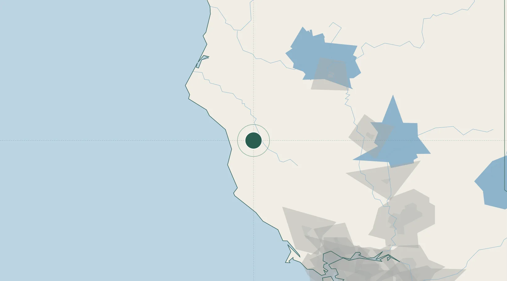
Laytonville
39.6833°, -123.4667°
1,227
Population
2
Transport functions
Transport Functions
Port
Multimodal
Hub Profile
Place type
Populated place
Region
California
Population
1,227
Time zone
America/Los_Angeles
Elevation
509 m
Location
Nearby Logistics Neighbours
Cities
- 1Westport26 km
- 2Redwood Valley53 km
- 3Philo71 km
- 4Hopland85 km
- 5McClellan Place89 km
Ports
- 1Fort Bragg40 km
- 2Fields Landing131 km
- 3Eureka138 km
- 4Samoa140 km
- 5Bodega Bay154 km
Airports
- 1Ukiah Municipal Airport66 km
- 2Red Bluff Municipal Airport116 km
- 3Redding Municipal Airport136 km
- 4Murray Field136 km
- 5Charles M. Schulz Sonoma County Airport142 km
Trade Zones
- 1FTZ No. 248 Eureka138 km
- 2FTZ No. 143 West Sacramento208 km
- 3FTZ No. 003 San Francisco229 km
- 4FTZ No. 056 Oakland233 km
- 5FTZ No. 231 Stockton267 km
DatabookThe Record of Consolidated Knowledge
United States beyond logistics?