UN/LOCODE hub · United States
USCW5
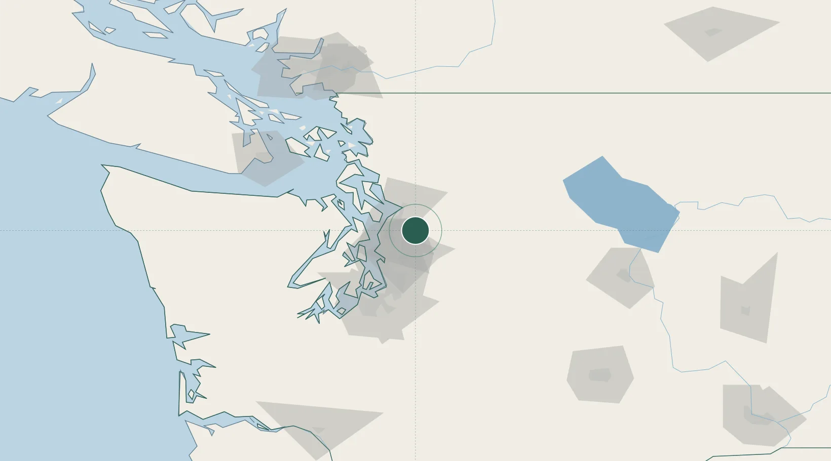
Cathcart
47.8333°, -122.0833°
2,458
Population
1
Transport functions
Transport Functions
Multimodal
Hub Profile
Place type
Populated place
Region
Washington
Population
2,458
Time zone
America/Los_Angeles
Elevation
70 m
Location
Nearby Logistics Neighbours
Cities
- 1Maltby4 km
- 2Mill Creek9 km
- 3Bothell13 km
- 4Lynnwood19 km
- 5Everett19 km
Ports
- 1Mukilteo21 km
- 2Everett21 km
- 3Point Wells24 km
- 4Seattle32 km
- 5Port Gamble37 km
Airports
Trade Zones
- 1FTZ No. 085 Everett21 km
- 2FTZ No. 005 Seattle39 km
- 3FTZ No. 086 Tacoma68 km
- 4FTZ No. 212 Tacoma73 km
- 5FTZ No. 129 Bellingham108 km
DatabookThe Record of Consolidated Knowledge
United States beyond logistics?