Transport Functions
Multimodal
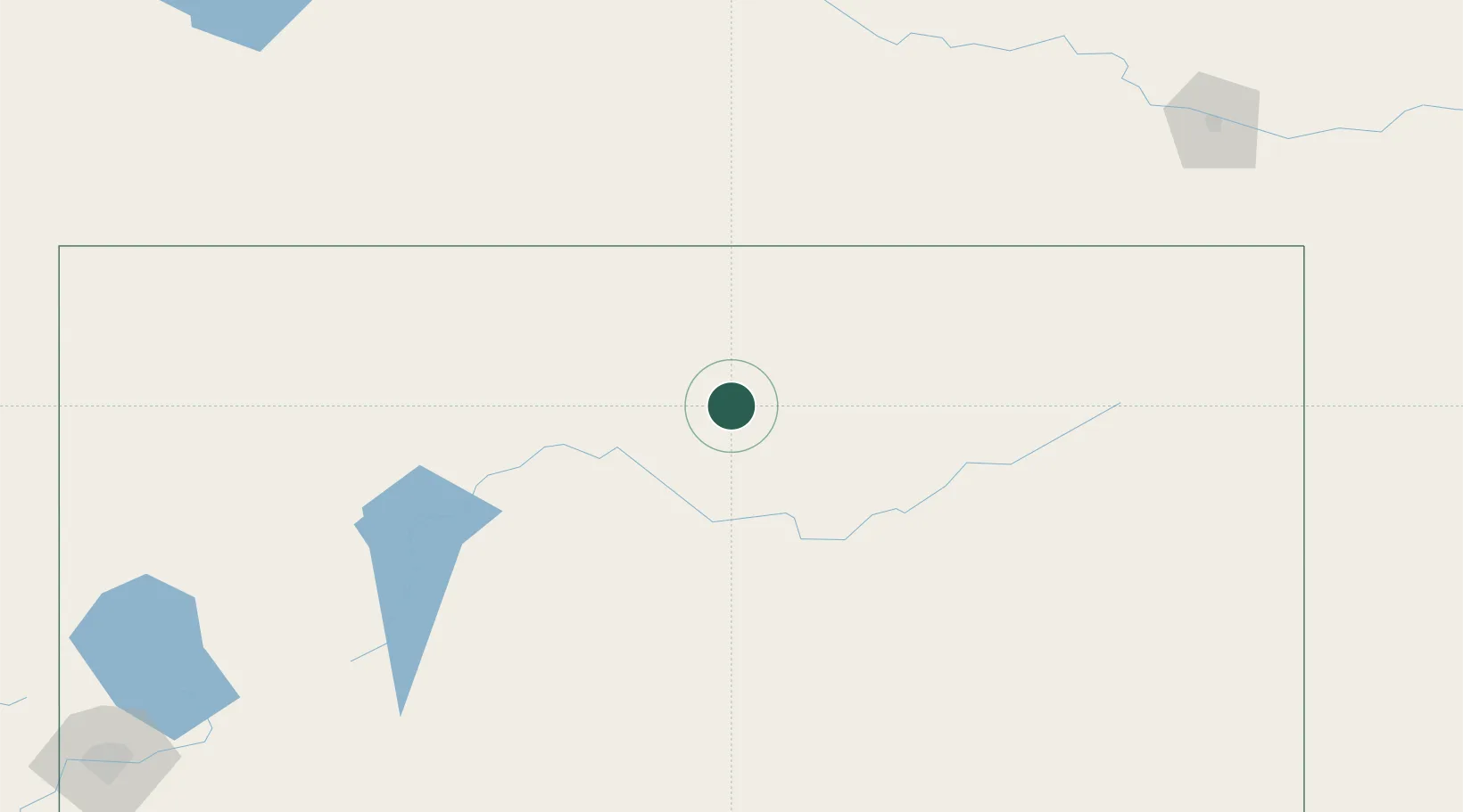
Hub Profile
Place type
Populated place
Region
Nevada
Time zone
America/Los_Angeles
Elevation
1,750 m
Location
Nearby Logistics Neighbours
Ports
- 1Sacramento499 km
- 2Courtland521 km
- 3Walnut Grove524 km
- 4Stockton532 km
- 5Isleton535 km
Airports
- 1Winnemucca Municipal Airport94 km
- 2Elko Regional Airport95 km
- 3Derby Field199 km
- 4Mountain Home Air Force Base215 km
- 5Joslin Field Magic Valley Regional Airport235 km
Trade Zones
- 1FTZ No. 280 Ada and Canyon Counties253 km
- 2FTZ No. 126 Sparks314 km
- 3FTZ No. 030 Salt Lake City405 km
- 4FTZ No. 143 West Sacramento500 km
- 5FTZ No. 231 Stockton534 km
DatabookThe Record of Consolidated Knowledge
United States beyond logistics?