Transport Functions
Port
Rail
Road
Hub Profile
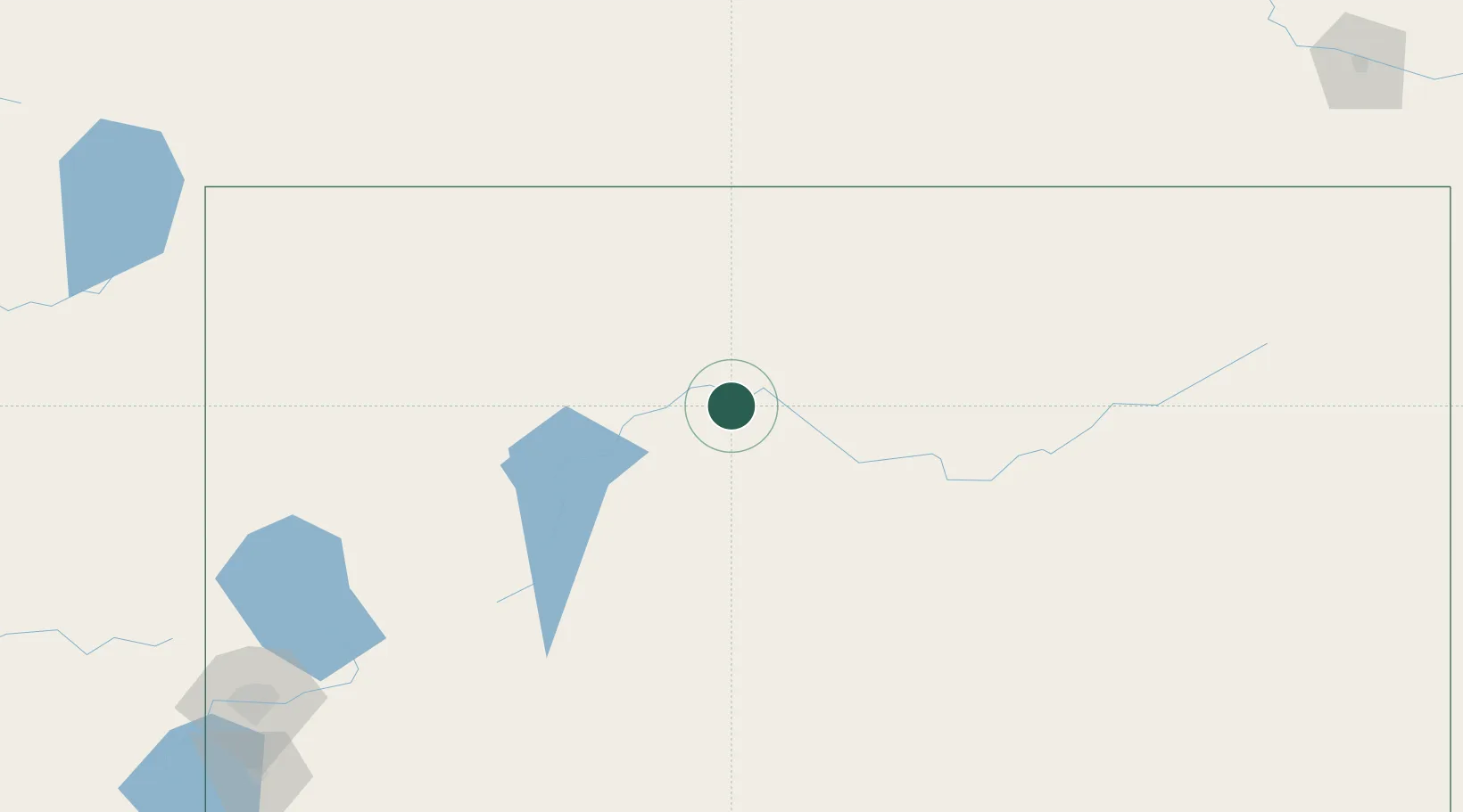
Place type
Populated place
Region
Nevada
Population
214
Time zone
America/Los_Angeles
Elevation
1,342 m
Location
Nearby Logistics Neighbours
Ports
- 1Sacramento433 km
- 2Courtland455 km
- 3Walnut Grove459 km
- 4Stockton468 km
- 5Isleton469 km
Airports
- 1Winnemucca Municipal Airport28 km
- 2Derby Field134 km
- 3Elko Regional Airport143 km
- 4Fallon Naval Air Station199 km
- 5Reno Tahoe International Airport252 km
Trade Zones
- 1FTZ No. 126 Sparks248 km
- 2FTZ No. 280 Ada and Canyon Counties285 km
- 3FTZ No. 143 West Sacramento434 km
- 4FTZ No. 030 Salt Lake City462 km
- 5FTZ No. 231 Stockton469 km
DatabookThe Record of Consolidated Knowledge
United States beyond logistics?