Transport Functions
Rail
Road
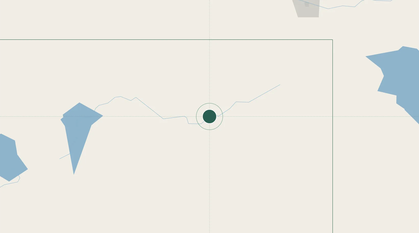
Hub Profile
Place type
Populated place
Region
Nevada
Population
2,302
Time zone
America/Los_Angeles
Elevation
1,495 m
Location
Nearby Logistics Neighbours
Ports
- 1Sacramento520 km
- 2Courtland538 km
- 3Walnut Grove541 km
- 4Stockton543 km
- 5Isleton551 km
Airports
- 1Elko Regional Airport29 km
- 2Winnemucca Municipal Airport145 km
- 3Wendover Airport174 km
- 4Ely Airport Yelland Field191 km
- 5Derby Field221 km
Trade Zones
- 1FTZ No. 280 Ada and Canyon Counties319 km
- 2FTZ No. 126 Sparks338 km
- 3FTZ No. 030 Salt Lake City346 km
- 4FTZ No. 143 West Sacramento521 km
- 5FTZ No. 170 Clark County533 km
DatabookThe Record of Consolidated Knowledge
United States beyond logistics?