UN/LOCODE hub · United States
USENV
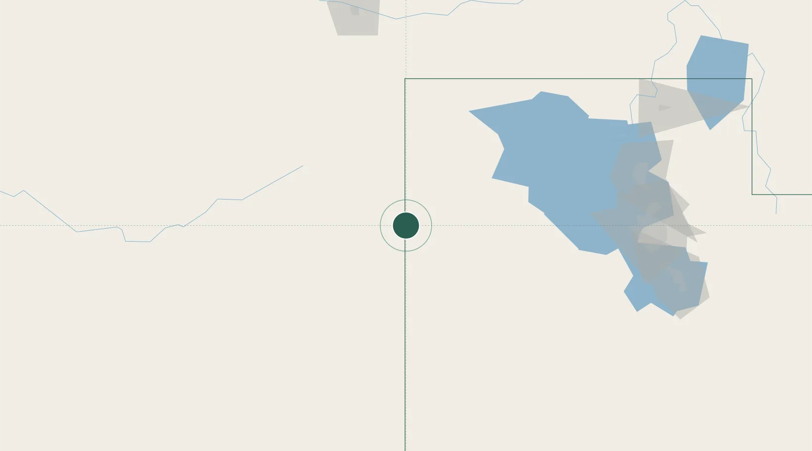
Wendover
40.7333°, -114.0333°
1,400
Population
3
Transport functions
Transport Functions
Rail
Road
Airport
Hub Profile
Place type
Populated place
Region
Utah
Population
1,400
Time zone
America/Denver
Elevation
1,308 m
Location
Nearby Logistics Neighbours
Cities
- 1Clifton73 km
- 2Grantsville133 km
- 3Stansbury park148 km
- 4Promontory159 km
- 5Hooper168 km
Ports
- 1Sacramento682 km
- 2Stockton697 km
- 3Courtland699 km
- 4Walnut Grove700 km
- 5Isleton709 km
Airports
- 1Wendover Airport2 km
- 2Elko Regional Airport148 km
- 3South Valley Regional Airport173 km
- 4Salt Lake City International Airport173 km
- 5Ely Airport Yelland Field174 km
Trade Zones
- 1FTZ No. 030 Salt Lake City172 km
- 2FTZ No. 280 Ada and Canyon Counties396 km
- 3FTZ No. 126 Sparks505 km
- 4FTZ No. 170 Clark County564 km
- 5FTZ No. 089 Clark County564 km
DatabookThe Record of Consolidated Knowledge
United States beyond logistics?