Transport Functions
Rail
Road
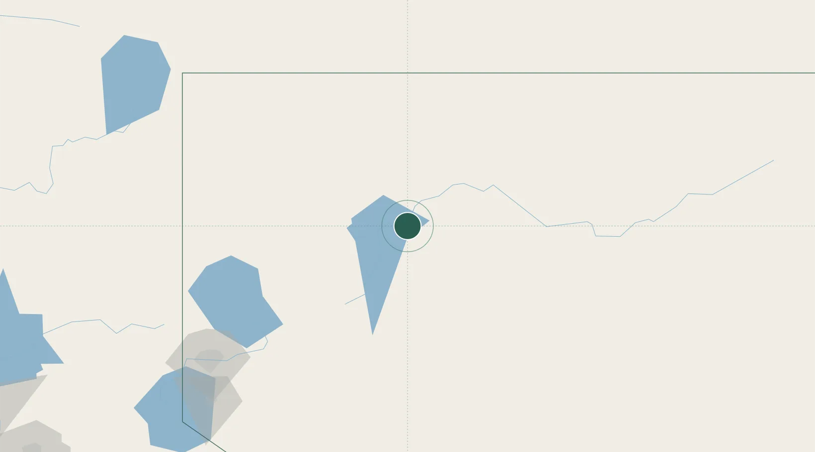
Hub Profile
Place type
Populated place
Region
Nevada
Time zone
America/Los_Angeles
Elevation
1,290 m
Location
Nearby Logistics Neighbours
Ports
- 1Sacramento375 km
- 2Courtland398 km
- 3Walnut Grove402 km
- 4Stockton412 km
- 5Isleton413 km
Airports
- 1Winnemucca Municipal Airport32 km
- 2Derby Field81 km
- 3Fallon Naval Air Station151 km
- 4Reno Tahoe International Airport196 km
- 5Carson Airport218 km
Trade Zones
DatabookThe Record of Consolidated Knowledge
United States beyond logistics?