UN/LOCODE hub · United States
US3TU
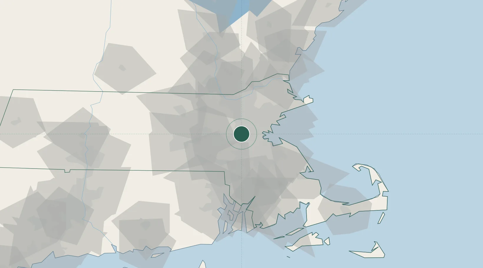
West Newton
42.3500°, -71.2333°
9,347
Population
2
Transport functions
Transport Functions
Port
Road
Hub Profile
Place type
Populated place
Region
Massachusetts
Population
9,347
Time zone
America/New_York
Elevation
15 m
Location
Nearby Logistics Neighbours
Cities
- 1Auburndale2 km
- 2Newtonville3 km
- 3Eliot5 km
- 4Wayland10 km
- 5Boston10 km
Airports
Trade Zones
- 1FTZ No. 027 Boston11 km
- 2FTZ No. 105 Providence and North Kingstown62 km
- 3FTZ No. 028 New Bedford79 km
- 4FTZ No. 081 Portsmouth85 km
- 5FTZ No. 201 Holyoke122 km
DatabookThe Record of Consolidated Knowledge
United States beyond logistics?