Transport Functions
Multimodal
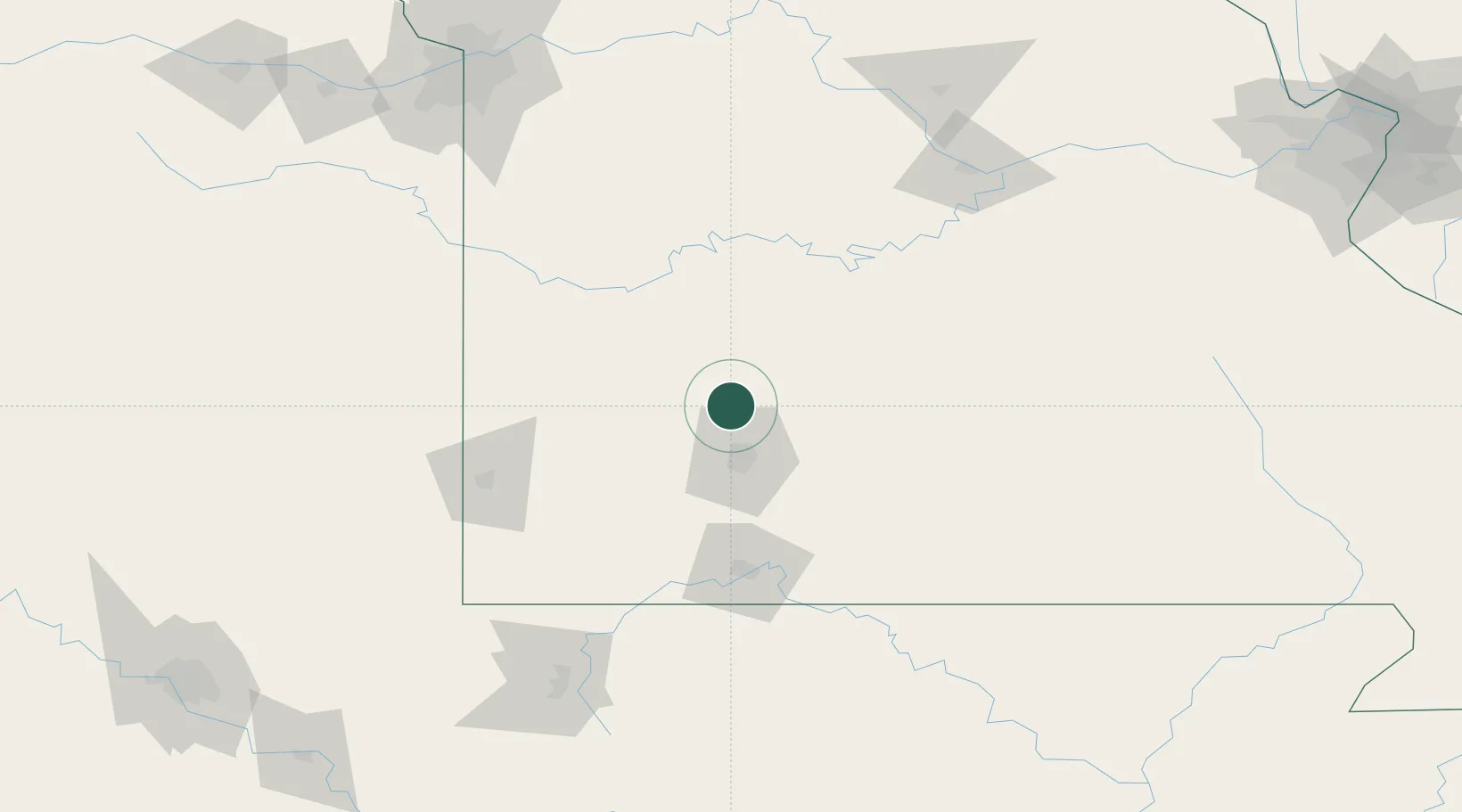
Hub Profile
Place type
Populated place
Region
Missouri
Time zone
America/Chicago
Elevation
354 m
Location
Nearby Logistics Neighbours
Cities
- 1Willard19 km
- 2Huron30 km
- 3Brookline34 km
- 4Brookline Station36 km
- 5Republic39 km
Ports
- 1Port Of Memphis388 km
- 2Calumet Harbor689 km
- 3Indiana Harbor689 km
- 4Gary692 km
- 5Chicago695 km
Airports
Trade Zones
- 1FTZ No. 225 Springfield32 km
- 2FTZ No. 015 Kansas City206 km
- 3FTZ No. 017 Kansas City226 km
- 4FTZ No. 053 Rogers County256 km
- 5FTZ No. 102 St. Louis County266 km
DatabookThe Record of Consolidated Knowledge
United States beyond logistics?