Transport Functions
Rail
Road
Hub Profile
Place type
Populated place
Region
Missouri
Population
411
Time zone
America/Chicago
Elevation
439 m
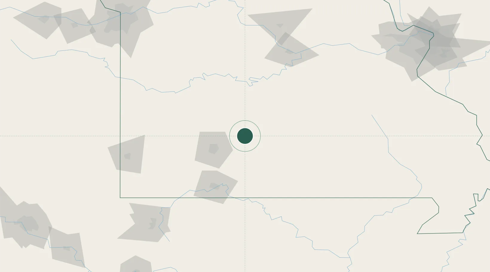
Location
Nearby Logistics Neighbours
Cities
- 1Marshfield8 km
- 2Fordland29 km
- 3Mansfield39 km
- 4Brighton45 km
- 5Ava51 km
Ports
- 1Port Of Memphis352 km
- 2Indiana Harbor664 km
- 3Calumet Harbor664 km
- 4Gary666 km
- 5Chicago672 km
Airports
Trade Zones
- 1FTZ No. 225 Springfield35 km
- 2FTZ No. 102 St. Louis County233 km
- 3FTZ No. 015 Kansas City243 km
- 4FTZ No. 017 Kansas City259 km
- 5FTZ No. 031 Granite City275 km
DatabookThe Record of Consolidated Knowledge
United States beyond logistics?