Transport Functions
Rail
Road
Hub Profile
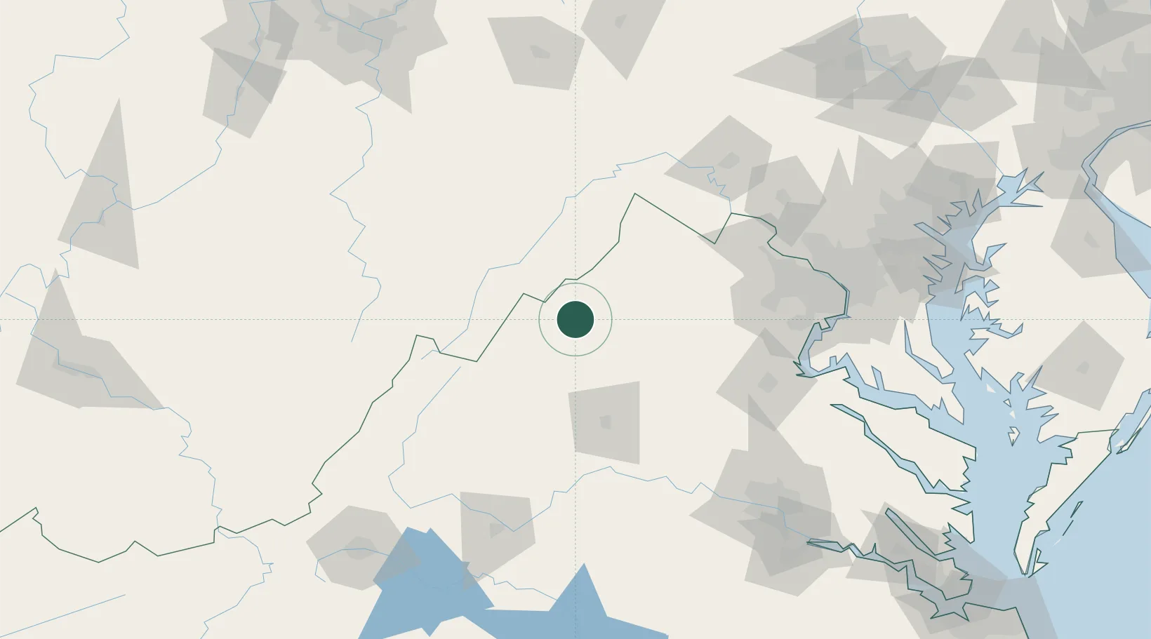
Place type
Populated place
Region
Virginia
Time zone
America/New_York
Elevation
291 m
Location
Nearby Logistics Neighbours
Cities
- 1Newport16 km
- 2Mcgaheysville35 km
- 3Mount Crawford43 km
- 4Bridgewater43 km
- 5Port Republic44 km
Ports
- 1Fredericksburg116 km
- 2Alexandria144 km
- 3Washington D.C.145 km
- 4Richmond169 km
- 5Baltimore193 km
Airports
Trade Zones
DatabookThe Record of Consolidated Knowledge
United States beyond logistics?