UN/LOCODE hub · United States
USAWY

Gallaway

35.3167°, -89.6000°
658
Population
3
Transport functions

Transport Functions

Port
Road
Multimodal
UN/LOCODE

Hub Profile

Place type
Populated place
GeoNames
Region
Tennessee
GeoNames
Population
658
GeoNames
Time zone
America/Chicago
GeoNames
Elevation
86 m
GeoNames

Location

Location of USAWY
Natural Earth 10m (public domain) · Tennessee · USAWY · 35.32, -89.60GoogleOSMYandex

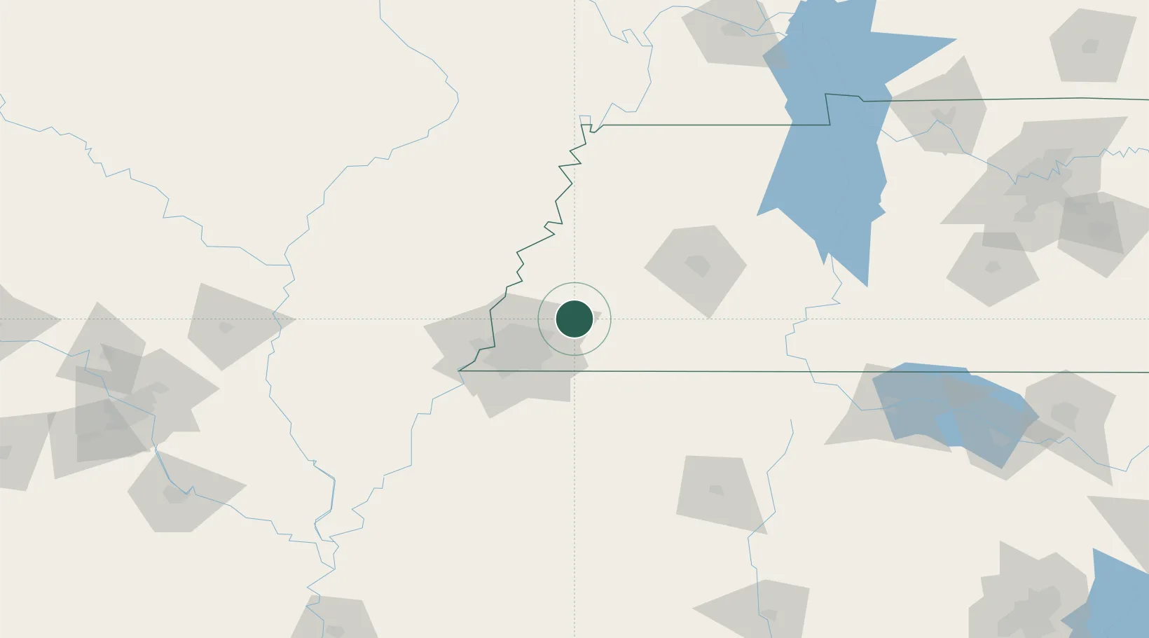
Nearby Logistics Neighbours

Cities
  1. 1Mason12 km
  2. 2Oakland12 km
  3. 3Burlison31 km
  4. 4Germantown32 km
  5. 5Henning39 km
Nearest neighbours — logibook spatial index (haversine) over the source coordinates
Ports
  1. 1Port Of Memphis59 km
  2. 2Mobile533 km
  3. 3Madisonville549 km
  4. 4Biloxi553 km
  5. 5Gulfport554 km
Nearest neighbours — logibook spatial index (haversine) over the source coordinates
Airports
  1. 1Millington-Memphis Airport25 km
  2. 2Memphis International Airport46 km
  3. 3McKellar-Sipes Regional Airport70 km
  4. 4Arkansas International Airport78 km
  5. 5University Oxford Airport104 km
Nearest neighbours — logibook spatial index (haversine) over the source coordinates
Trade Zones
  1. 1FTZ No. 283 West Tennessee49 km
  2. 2FTZ No. 223 Memphis51 km
  3. 3FTZ No. 262 Southaven57 km
  4. 4FTZ No. 273 West Memphis57 km
  5. 5FTZ No. 077 Memphis63 km
Nearest neighbours — logibook spatial index (haversine) over the source coordinates
DatabookThe Record of Consolidated Knowledge
United States beyond logistics?
Browse databook

All Sources

LocationsUN/LOCODE
UN/LOCODE — free
LocationsGeoNames
CC BY 4.0
Portsthe NGA World Port Index
Public domain (US gov)
AirportsOurAirports
Public domain
Trade Zonesthe World Bank SEZ database
CC BY 4.0
Trade ZonesOpen Zone Map
CC BY
← United States locations